
Southern Cascades - September 2005
Denise and I traveled up the volcano chain of the Cascade Mountain Range from Mount Lassen and Mount Shasta of Northern California to Crater Lake in Southern Oregon. The scenery was spectacular, the weather cool (we even had a dusting of snow one morning), and the crowds almost nonexistent.
We began our trip by driving to the little town of Mineral on CA state highway 36, south of the National Park entrance, where we stayed at the Mineral Lodge. We used this as our base to explore the Lassen area. The first night we got a light dusting of snow.
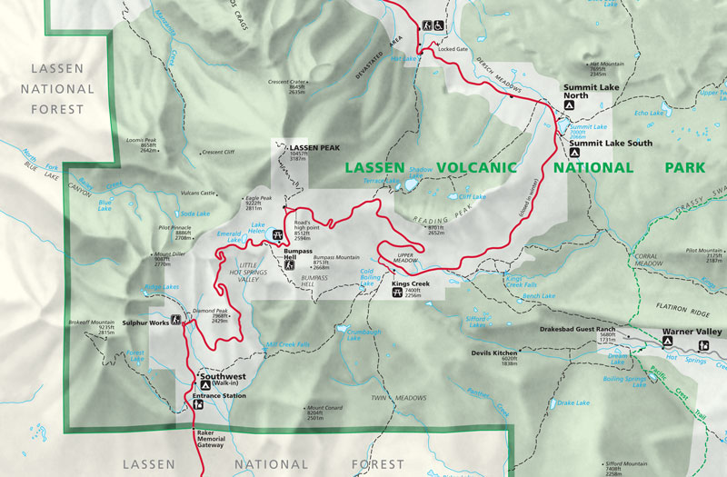
We entered Lassen Volcanic National Park from the southwest on Highway 89 (the Volcanic Legacy Scenic Byway). The highway meanders through the park and exits to the north-west, then continues north until it intersects I5 just south of Mount Shasta. The south-west corner of the National Park Service map is shown. http://www.nps.gov/lavo/index.htm
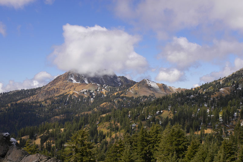
Brokeoff Mountain, at 9235 ft, is the second highest peak in Mt. Lassen National Park as seen from Highway 89.
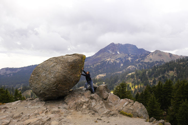
Denise trying to remove a "glacial eratic" left behind when the ancient glacier that brought it melted. Brokeoff Mountain is in the background.

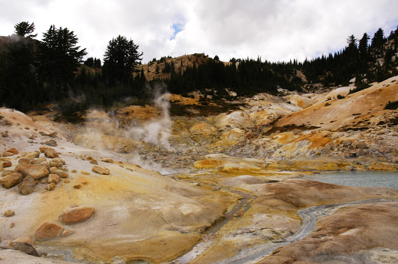
Bumpass Hell, named for an early settler who severely burned himself when he fell into one of the hot springs, is the largest concentration of hydrothermal features in the park. This image into the Bumpass Hell basin was taken from the path to the hydrothermal area.
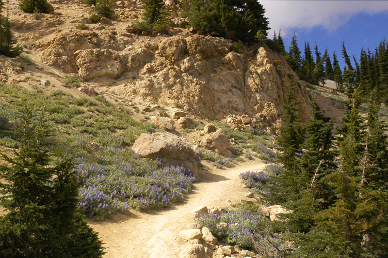
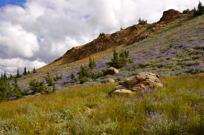
Wild blue lupine were in bloom on the path to Bumpass Hell hydrothermal area of Mount Lassen National Park.
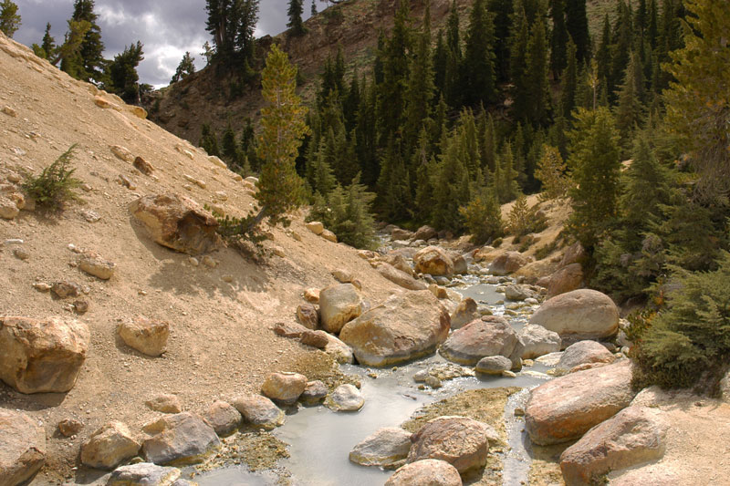
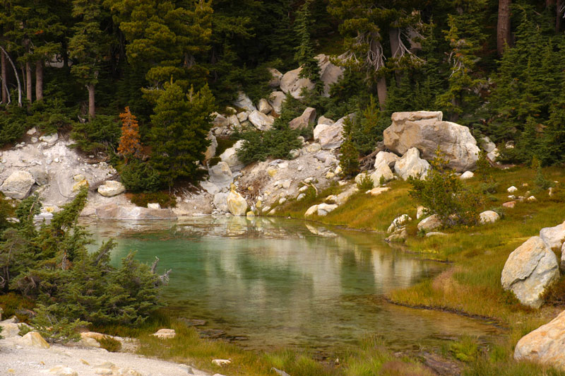
Milky colored water laden with minerals flows from the hydrothermal springs.
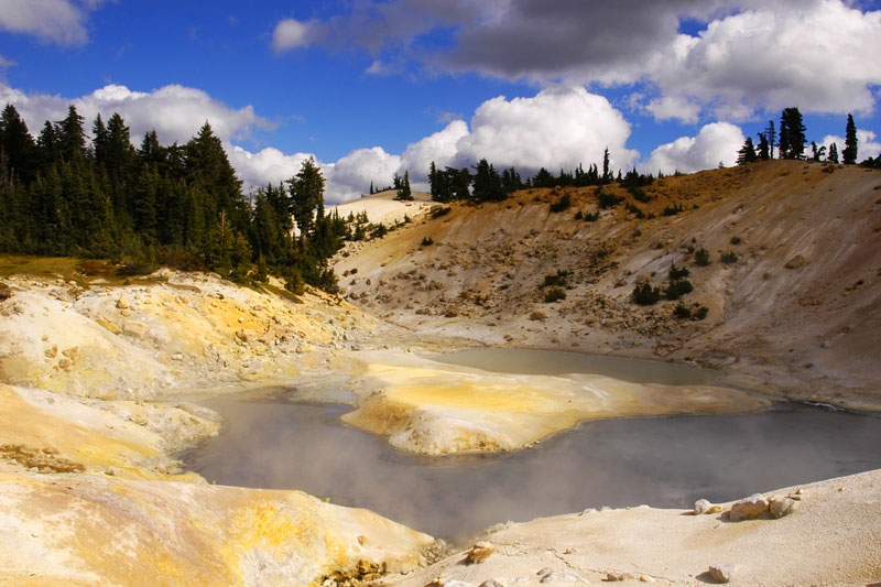
Some of the Bumpass Hell thermal pools.
Mount Lassen (elev. 10,462 ft), dusted in snow, and Crescent Crater. Mount Lassen is the southernmost active volcano in the Cascades. It last erupted on May 22, 1915.
![]()
![]()
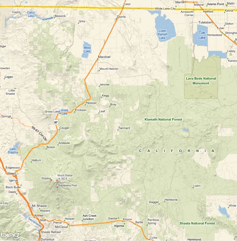
We moved on to the town of Mt. Shasta on I5, lower-left corner of map, where we stayed in a comfortable cabin at the Mt. Shasta Resort, and used that as a base for exploring Mt. Shasta and the Lava Beds National Monument. (Map from Bing.)
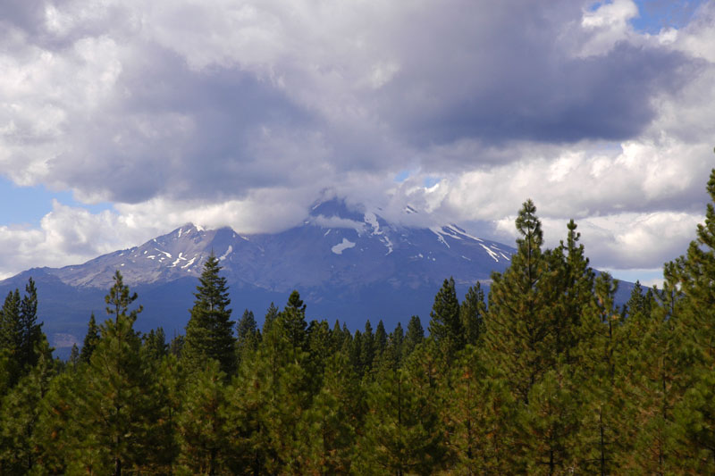
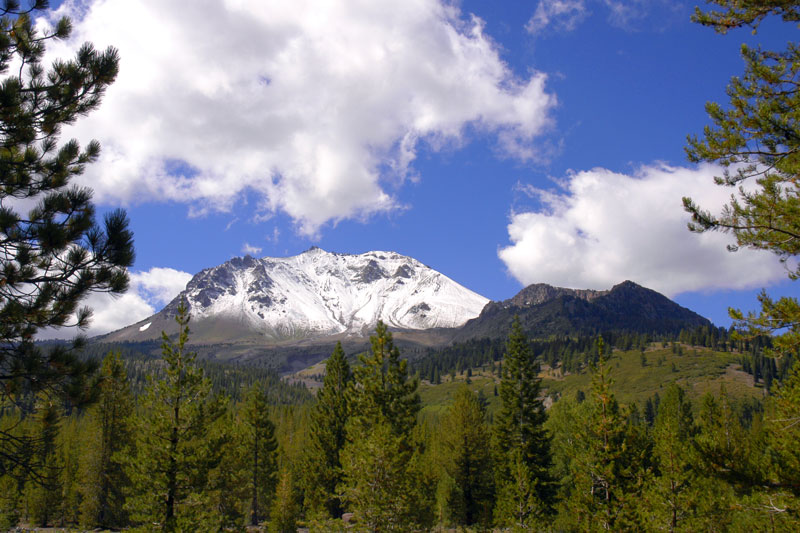
We got our first glimpse of Mount Shasta, wreathed in clouds, as we approached from the south on Highway 89.
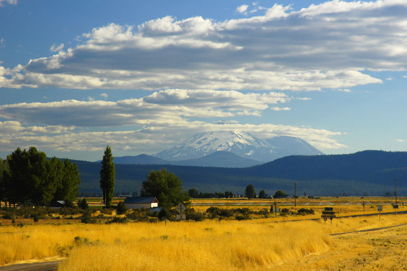
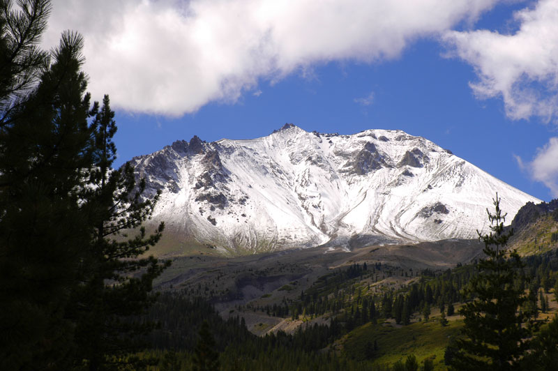
The next day we circumnavigated Mount Shasta, starting to the south of the mountain, and drove to the Lava Beds National Monument, whose images are further below, returning to the town of Mount Shasta on Highway 97 to the north. Here is Mount Shasta with its persistent cloud cover as seen from the northeast on Highway 97.
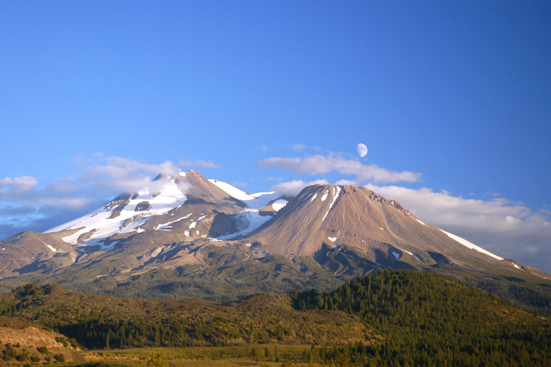
Mount Shasta at sunset as seen from the north on Highway 97 as we approach Interstate 5. Mt. Shasta (14,162 ft) is to the left and Mt. Shastina is to the right. Mount Shasta had been covered in clouds all day and we despaired of ever seeing its top. But then as the sun began to set, the clouds parted as if on cue to reveal the rising moon.
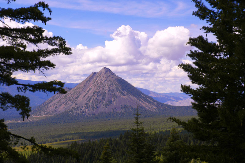
Black Butte from the side of Mt. Shasta. Black Butte is a cluster of overlapping lava domes located just north of the town of Mount Shasta.

From Mt. Shasta we took a day drive through Lava Beds National Monument, from south to north, on Hill Road. This is the National Park Service map: http://www.nps.gov/labe/index.htm.
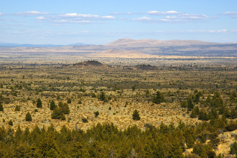
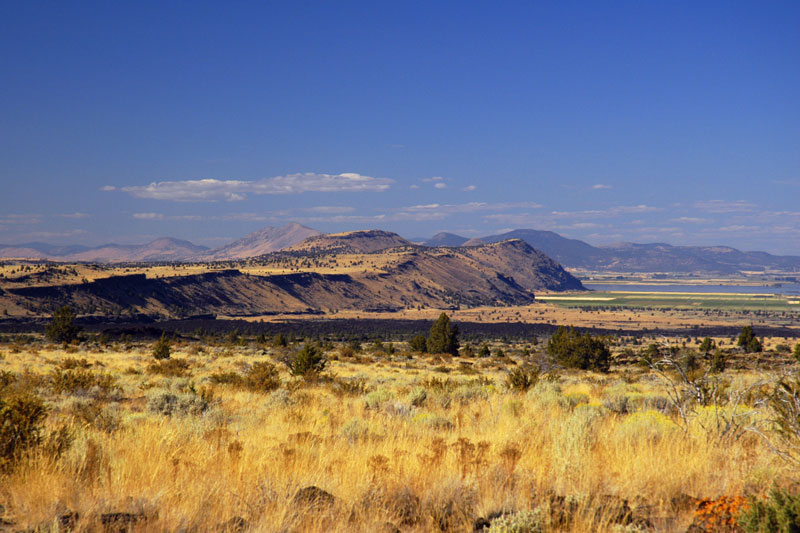
Lava Beds National Monument looking east from the visitors center. The monument lies on the northeast flank of the Medicine Lake Volcano, the largest volcano in the Cascade Range. Eruptions from the Medicine Lake Volcano have created a very rugged landscape covered by cinder cones, lava flows and lava tube caves. Approximately thirty lava flows attributable to the Medicine Lake Volcano are exposed in the monument, and there are about seven hundred caves to explore.
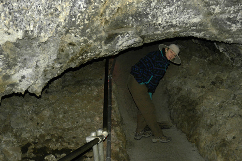
Lava Beds National Monument has the largest concentration of lava tube caves in North America. We explored the Mushpot Cave, which is illuminated unlike the others, since we were not equiped for serious spelunking. Denise is taking the lead here.
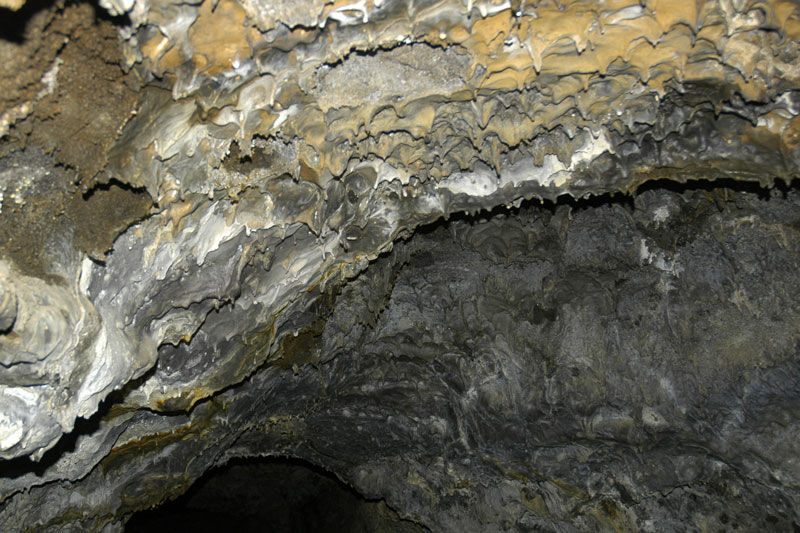
"Lavacicles" hang from the ceiling of the lava tube. They were left as the lava retreated from the tube and the viscous lava dripped, cooled and solidified.
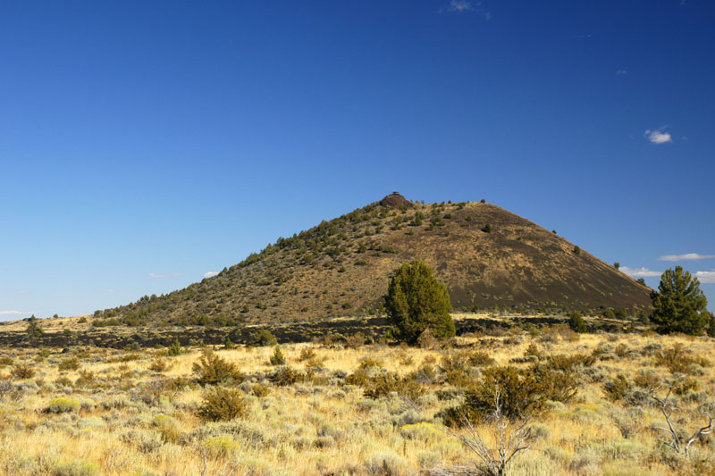
The Schonchin Butte cinder cone. The fire lookout built by the Civilian Conservation Corps in 1939-40 can be seen on the top of the cinder cone.
Gillem Bluff, the Devil's Homestead Flow, and Tule Lake looking north from near Black Crater. Gillem Bluff is a fault scarp that was pushed up relative to the area below by a series of earthquakes. Gillem Bluff is the oldest geological feature in monument; the rocks at its top are approximately 2,000,000 years old.
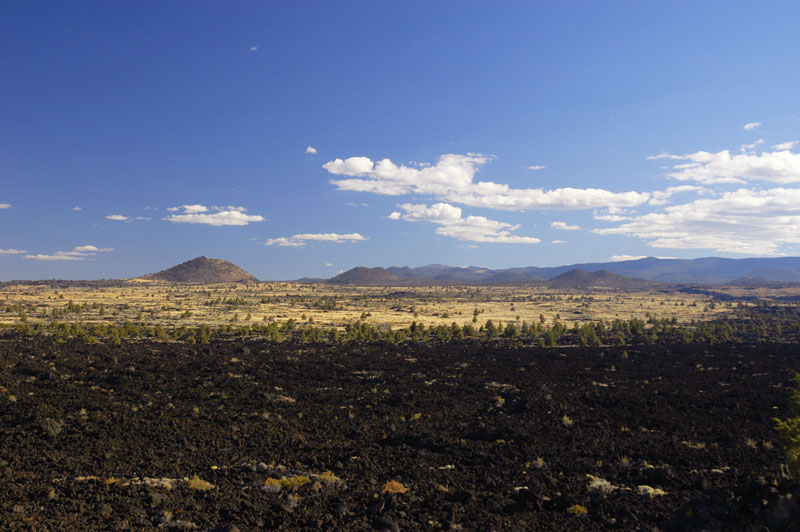
Looking south from near Captain Jack's Stronghold out over Devil's Homestead Lava Flow in the foreground, can be seen the Schonchin Butte Cinder Cone on the left. Medicine Lake Volcano is in the right background. The name "Captain Jack's Stronghold" takes its name from the Modoc War of 1872-73 in which the Modoc indians under the command of Captain Jack took advantage of the rough landscape and lava tubes to hold off the US Army, numbering about ten times their number, for five months.
![]()
![]()
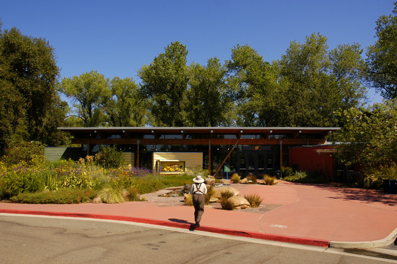
For a change of pace, one day we drove south on I5 to Redding to see the famous Sundial Bridge and McConnell Arboretum at the Turtle Bay Exploration Park (http://turtlebay.org/).
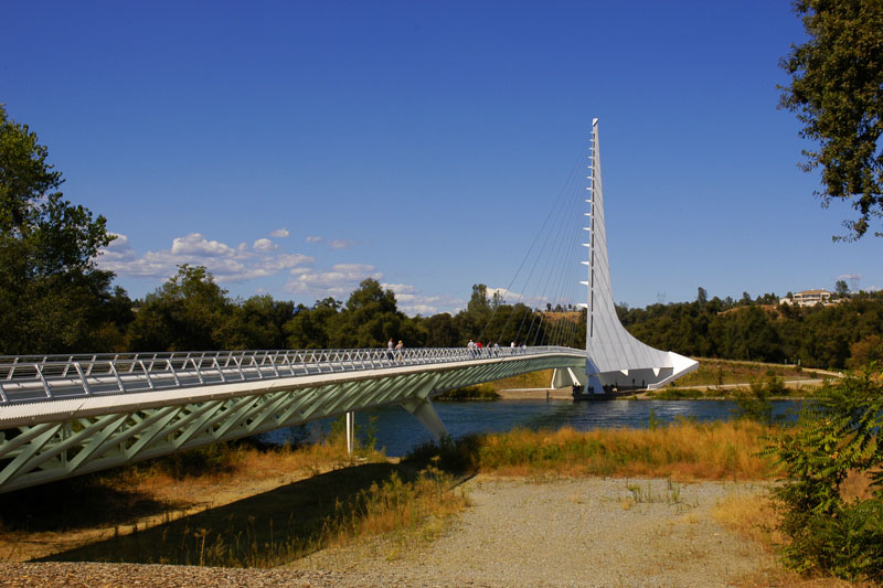
The Sundial Bridge provides a pedestrian crossing over the Sacramento River in Redding just south of where the Sacramento River is dammed to form Lake Shasta. The support tower at the far end serves as the gnomon of the world's largest sundial. http://turtlebay.org/sundialbridge.
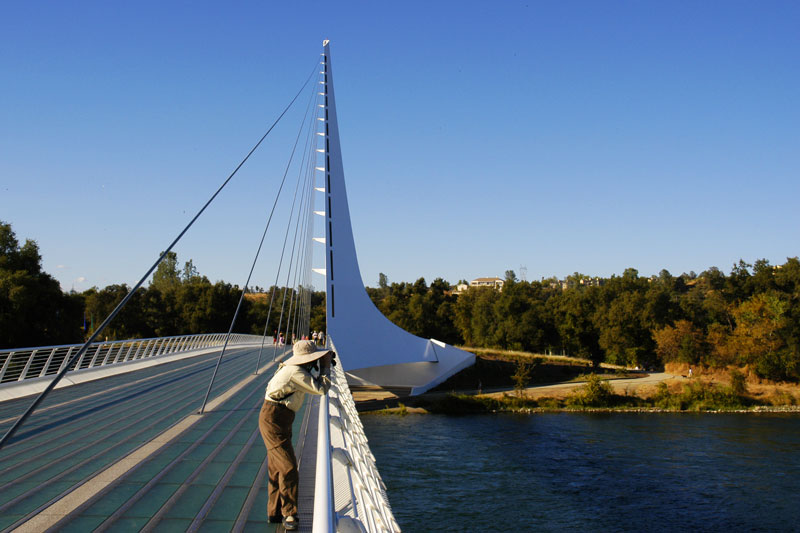
Denise looks for birds, and the gnomon of the sundial forms a shadow to its right as the sun begins to move toward the west.

We then drove north into Oregon on highways 97 and 62 (Crater Lake Highway) to visit Crater Lake. We spent a couple of nights in Klamath Falls and comfortably explored Crater Lake in a day drive. Part of the National Park Service Map is shown above. http://www.nps.gov/crla/index.htm.
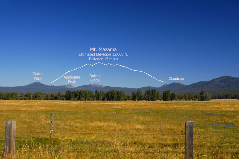
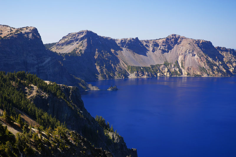
Crater Lake as seen from Highway 62. I added the outline of the former Mount Mazama (taken from a Forest Service sign), estimated to have been ~12,000 ft high, that erupted around 5700 BCE to form the caldera that later filled creating Crater Lake.
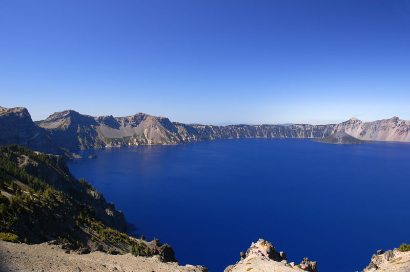
Crater Lake from the north side of the caldera. Wizard Island is seen to the extreme right in the background. A smaller "island" called the Phantom Ship can be seen to the left. Crater Lake is 1,943 feet deep, making it the deepest lake in the Unitest States.
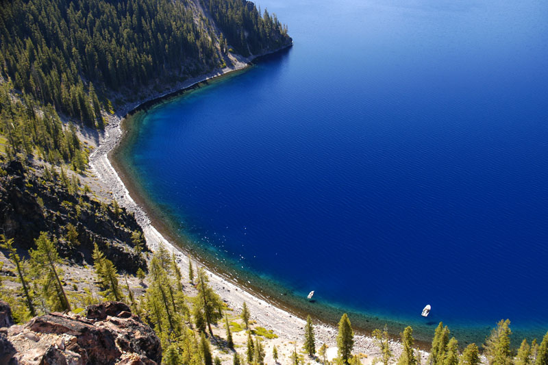
The incredibly clear waters of Crater Lake are evident.

Wizard Island is a volcanic cinder cone. Note that some tour boats dock at the island so tourists may climb it.
A closer view of the Phantom Ship, just off the left shore in this image.
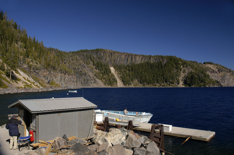
After a steep climb walk down the inside of the caldera rim, we took a tour of the lake.
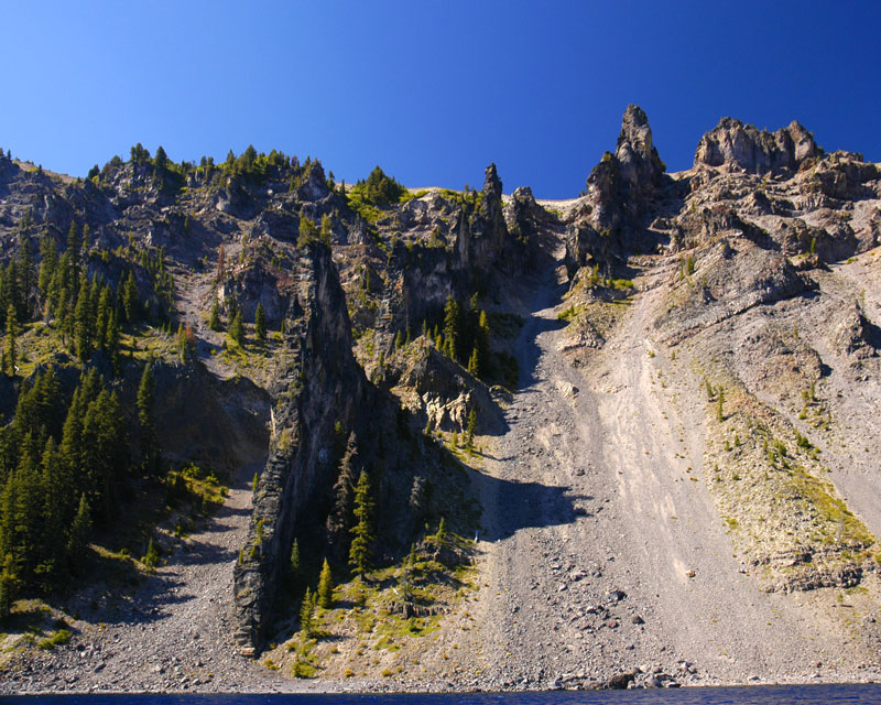
Spectacular volcanic dykes can be seen from the water surface during the lake tour. Volcanic dykes are created when lava permeates fractures in rocks. The lava consists of igneous rock that is very hard and that remains intact long after the surrounding rock has eroded.
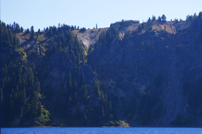
Crater Lake Lodge is perched on the caldera rim on the south-west side of the lake.
![]()
![]()
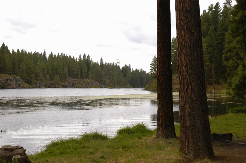
We began our return trip in weather that had turned ominously overcast by driving highways 66, 99, and 199 to Crescent City on the extreme Northern California coast. This is the Klamath River just outside of Klamath Falls. The clouds threaten rain.
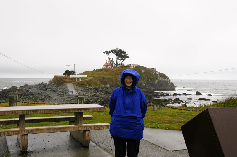
We arrived at Crescent City in the evening just in time to be rained on and Denise is bundled up for the weather. The lighthouse in the background is on Battery Point.

The Battery Point Lighthouse can be seen in the distance beyond the Crescent City harbor.
We spent a wet night in Crescent City before driving home down Highway 101 along the northern California Coast which took us through the Redwoods National and State Parks. These parks are coadministered by the National Park Service and the California Department of Parks and Recreation. Here is a link to a map of the parks, which stretch about 80 miles along Highway 101 from just north of Crescent City to about 20 miles north of Eureka: http://www.nps.gov/redw/planyourvisit/upload/REDWmap1.pdf. The map is too large to include here.
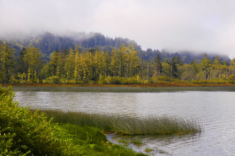
The Klamath River just before it flows into the Pacific Ocean from Highway 101.
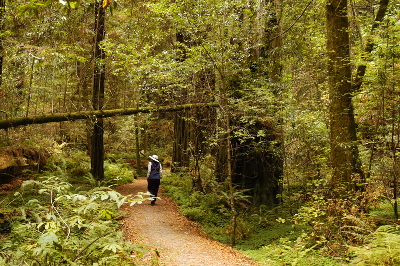
We took a break from driving to explore one of the many trails through the redwoods.
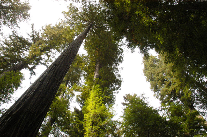
The California Coastal Redwood (Sequoia Sempervirens) is the tallest tree in the world. The tallest known specimen is 379.1 feet in height. Its exact location is undisclosed to protect it from vandals.
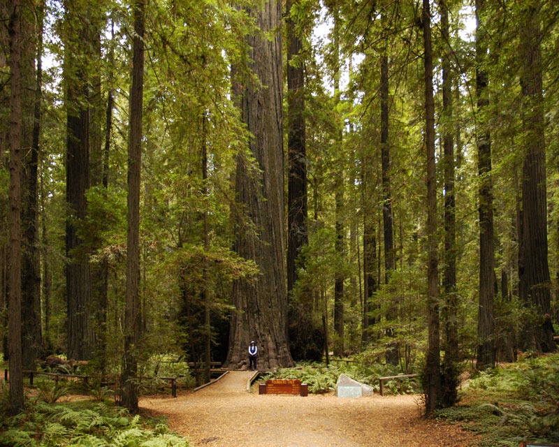
Denise stands in front of the "Founders Tree". The sign reads, "Founders Tree, Height 346.1 feet, Diameter 12.7 feet, Circumference 40.0 feet, and Height to Lower Limb 190.4 feet".
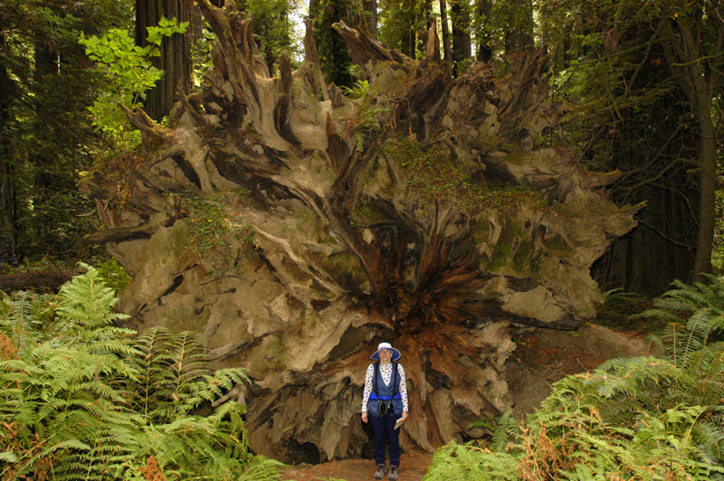
The roots of a fallen sequoia are impressive.
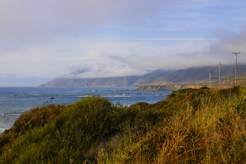
The rugged Northern California Coast seen from Highway 1 just south of Mendocino.
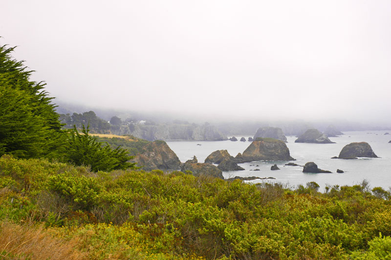
The California coast seen from Highway 1 looking south towards the small town of Elk. We stopped because we recognized this view. Several years ago we purchased a plein air oil painting clearly painted from this very spot! It was amazing that we recognized it quickly enough to pull over without having an accident.
![]()
![]()