
Yosemite, Kings Canyon & Sequoia National Parks, May 2016
Denise and I visited the three grand national parks in the Central Sierra Nevada Mountains of California: Yosemite, Kings Canyon, and Sequoia.
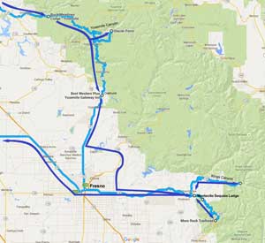
Click on the map above to see a larger version. (Google Maps)
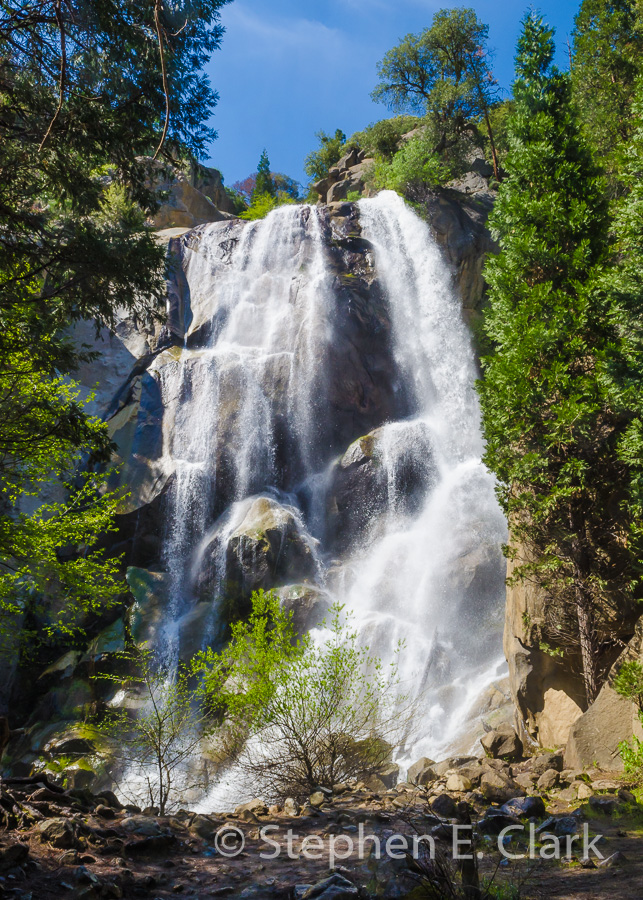
We wanted a simple one-week driving vacation through the magnificent Yosemite, Kings Canyon, and Sequoia National Parks of the Central Sierra Nevada Mountains of California, in May after a roughly normal winter's rainfall after four years of drought. We wanted to see how the waterfalls and rivers looked and how the forests were holding up. We have visited Yosemite many times as a couple, and I camped there many times with my family while growing up. But Kings Canyon and Sequoia National Parks we had visited only once before early in our relationship, and I have no memory of camping there as a child. So in a sense this was a new adventure for us.
See the map to the left. The light blue line is the route we originally planned to follow, and the dark blue is the route we actually took. On a whim we bypassed Fresno by driving east on the Old Millerton Rd by Friant Dam and Millerton Lake and then south on the Old Tollhouse Rd. These were my old stomping grounds when I was growing up in Fresno, and many a long-ago summer evening was spent burning through a $4 tank of gas with my buddies in our small British sports cars. (Mine was a red MGB.) But I digress.
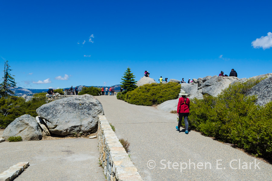
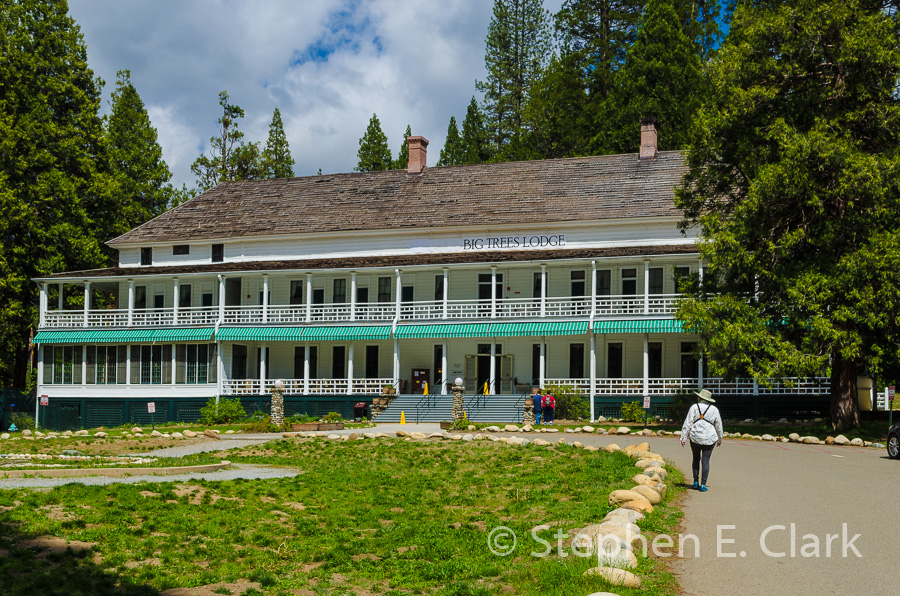
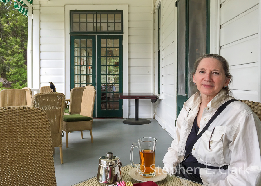
We approached Yosemite's west entrance on state highway 120 where we stayed for a night in the Buck Meadows Lodge just outside the park entrance. This establishment has not improved with age. The accommodations were fine, but the coffee shop-style restaurant was just as bad as we recalled from our trip to Yosemite in June 2011. We drove through the park, stopping at the usual vistas, making a point to visit Glacier Point, perhaps our favorite spot in the Sierra Nevada, stopping for coffee at the grand old lodge formerly known as the Wawona, now renamed the Big Trees Lodge, and then continued on to Oakhurst just outside the south entrance of the park on highway 41.
We stayed the night in Oakhurst before driving on to the Montecito Sequoia Lodge located beween Kings Canyon and Sequoia National Parks on highway 198, also known as the Generals Highway in reference to the Giant Sequoia Trees named after Civil War generals located in many groves along the highway. There we stayed several nights so we could explore the two parks at our leasure. The Montecito Sequoia Lodge was a great find and we highly recommend it to others. The rooms were snug but clean and all meals were included in the room charge. They even made a bag lunch for us to take out each day if we knew we would not be back to eat lunch in the dining hall. Kings Canyon and Sequoia National Parks abut one another in places and the Montecito Sequoia Lodge proved very convenient for exploring both parks.
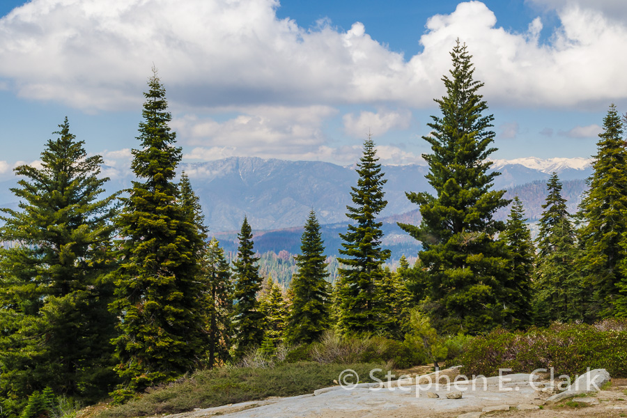
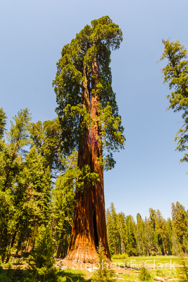
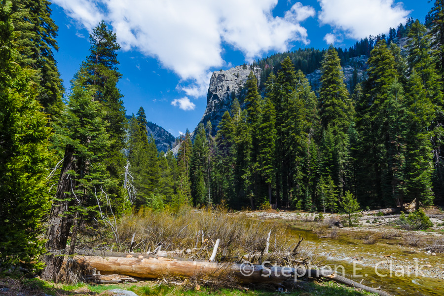
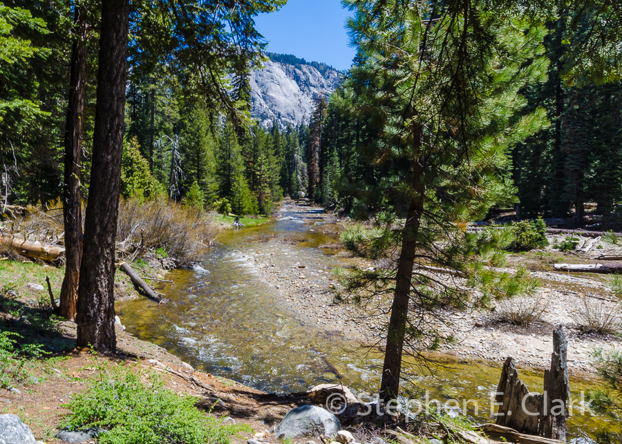
Among our adventures, we drove the length of Kings Canyon, a smaller undeveloped version of Yosemite Valley, something neither of us remembered ever doing, and did a short hike at the east end of the valley. We also visited the General Grant Tree in Grant Grove, believed to be the second largest (by volume) of the Giant Sequoias (Sequoiadendron giganteum), and the General Sherman Tree located in the Giant Forest, the largest Giant Sequoia. We also climbed Moro Rock located in Sequoia National Park to enjoy the magnificent views of the High Sierra to the east and the south end of the Central Valley to the west.
We drove home on highway 180 through Fresno.
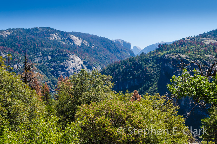
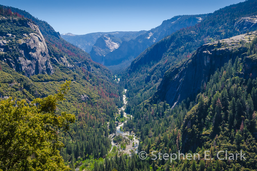

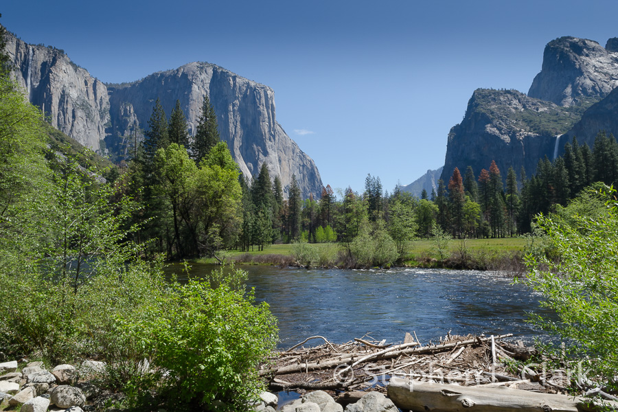
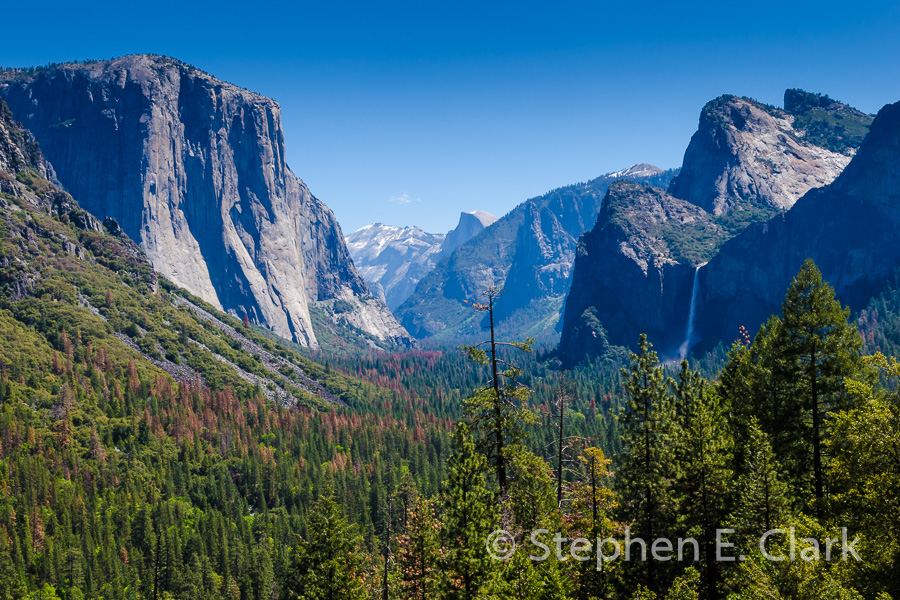
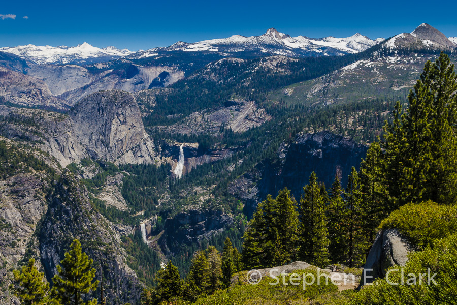

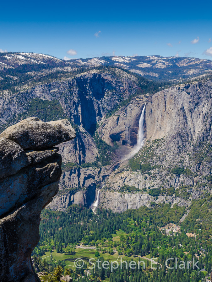
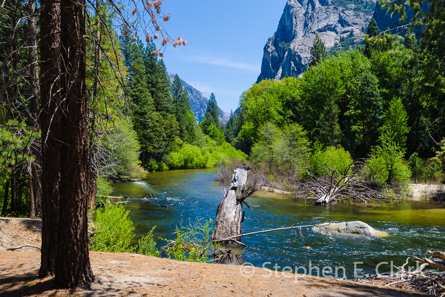
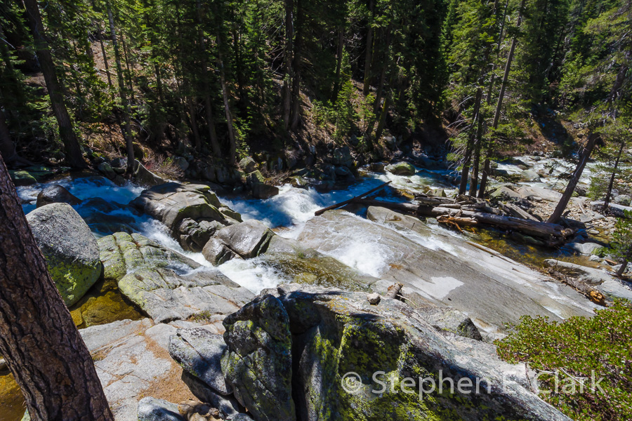
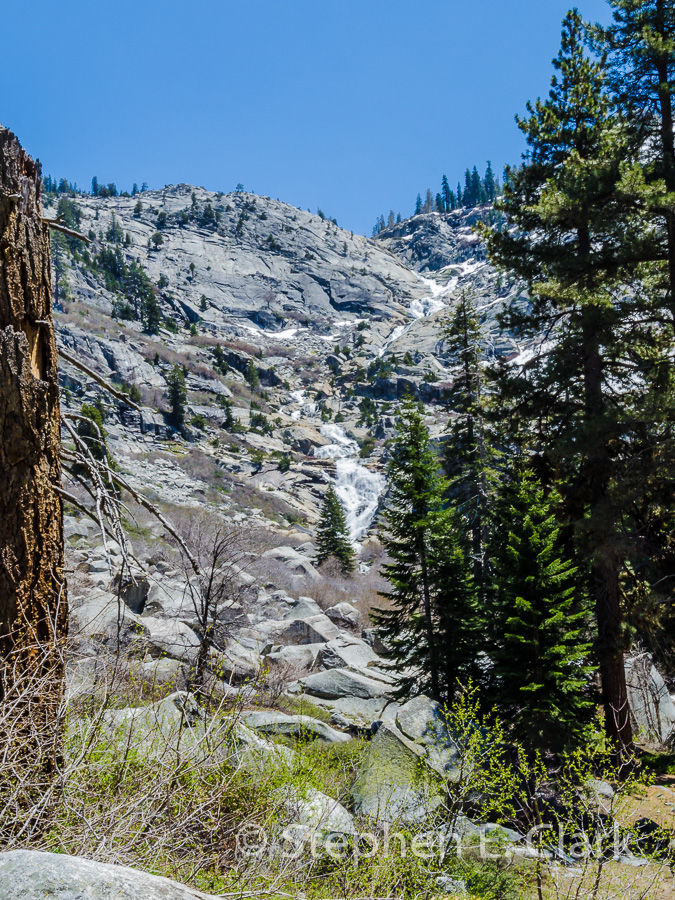
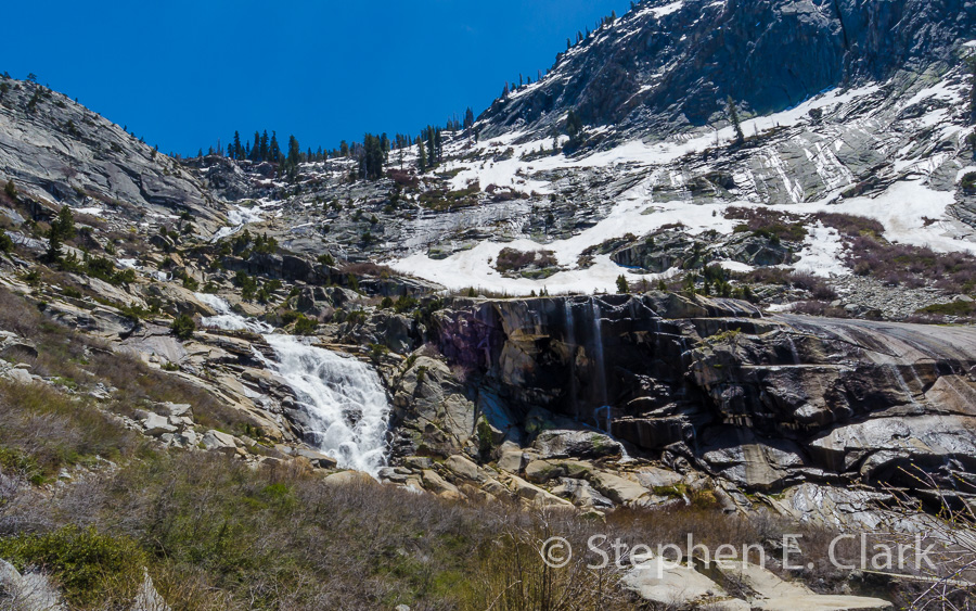
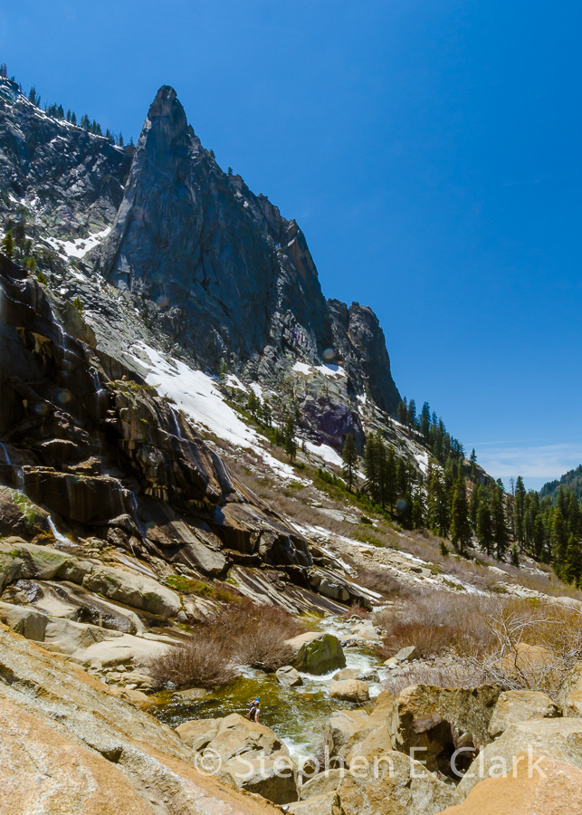
Yosemite National Park: We have been to Yosemite National Park innumerable times, most recently in June 2011, and I camped there while growing up in Fresno every summer since I can recall, but we had to return to see how the waterfalls were faring after the first rainy winter since our drought began four years ago. We didn't attempt to stay in the park, but drove through, stopping at the usual vistas, and making a point of driving to Glacier Point to take in the magnificent views from there. The waterfalls were flowing nicely since that part of the state had close to a normal winter's rainfall.

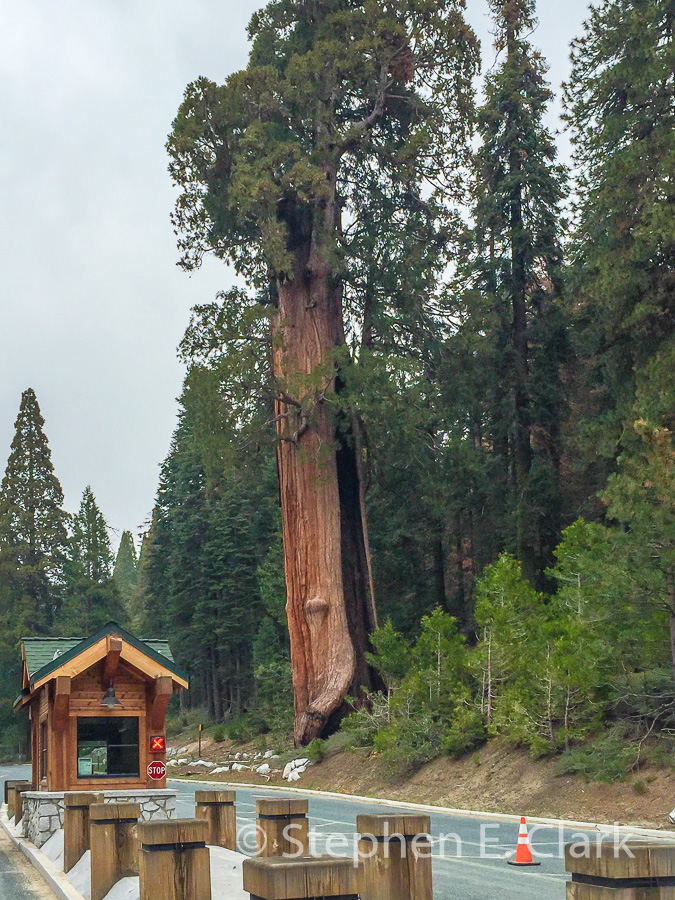
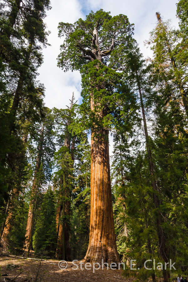
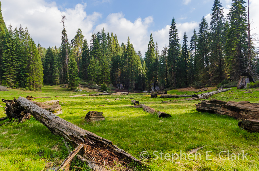
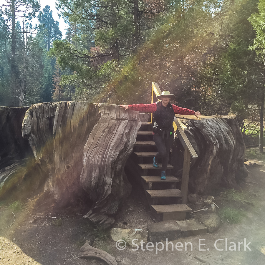


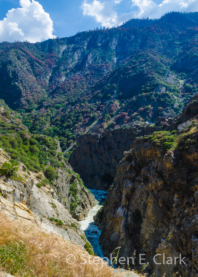
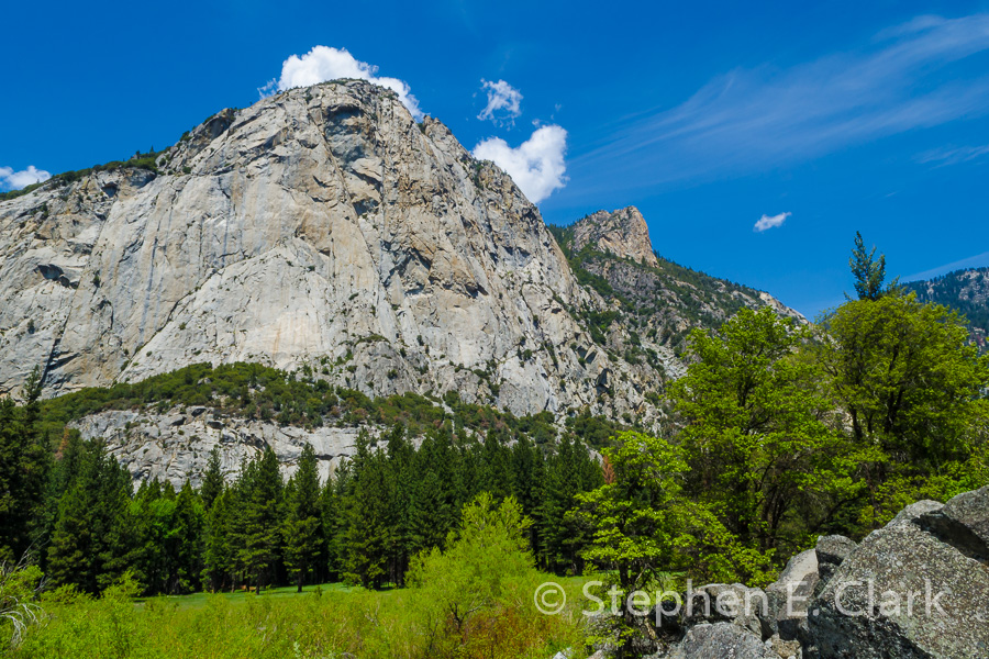

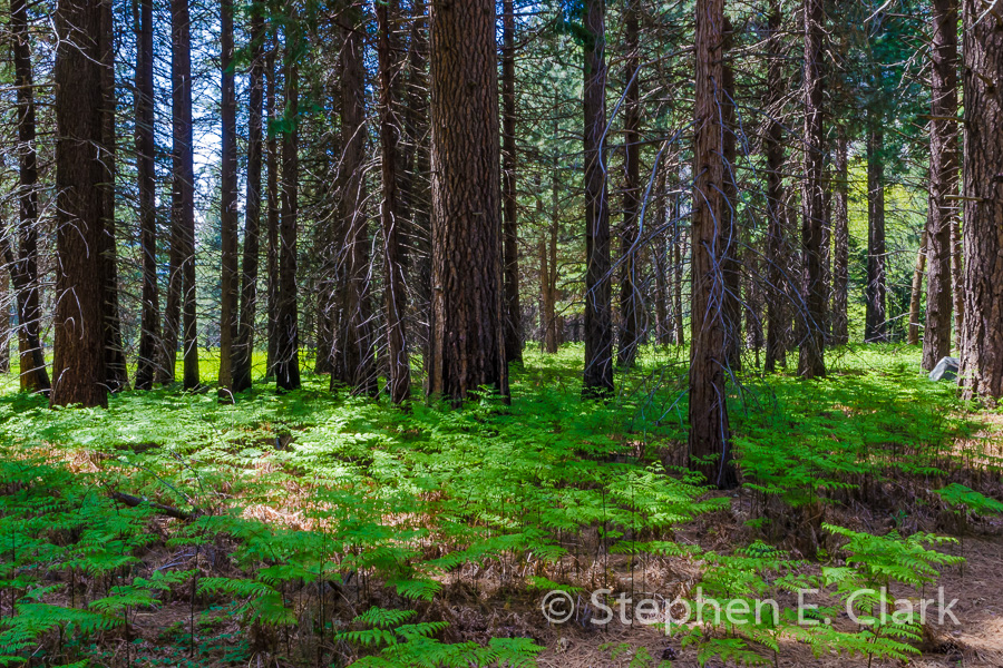
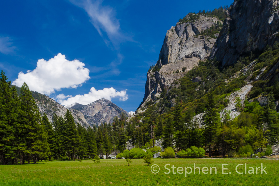

Kings Canyon National Park: Kings Canyon National Park and the adjacent Sequoia National Park encompass most of the remaining groves of Giant Sequoia Trees (Sequoiadendron giganteum, not to be confused with the Coastal Redwood). Compared to Yosemite National Park, these two parks are relatively free of crowds yet offer similar experiences: hiking access to the Sierra Nevada Mountains, rugged glacially formed canyons to explore, and Giant Sequoias, the largest species of tree in the world measured by volume. The Coast Redwood (Sequoia sempervirens) is the tallest, but the Giant Sequoia is the largest. We stayed at the Montecito Sequoia Lodge, located in a gap between the two parks, that gave easy access to both. From there we drove the length of Kings Canyon, a first for us, and hiked amongst the most majestic trees in the world.

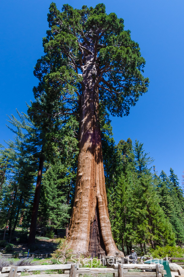
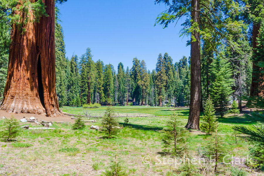
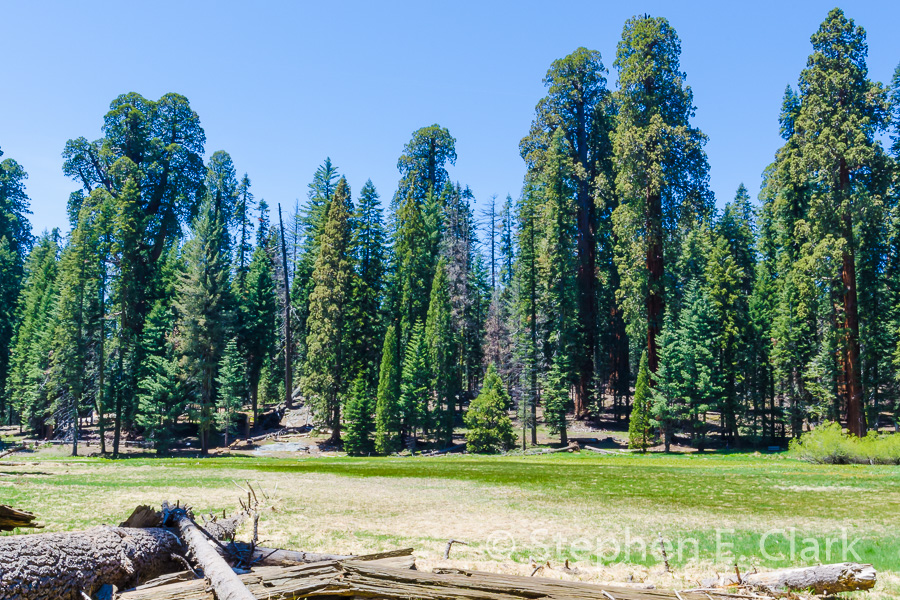
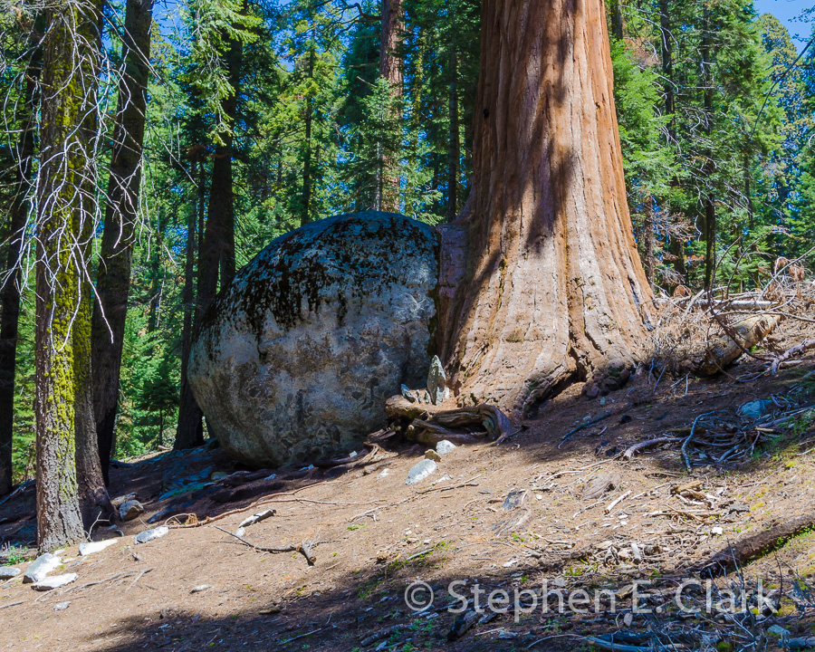
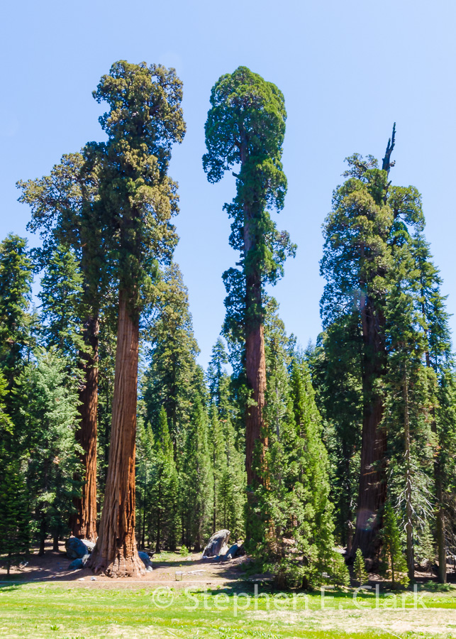
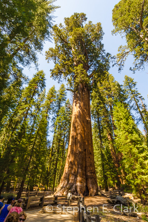

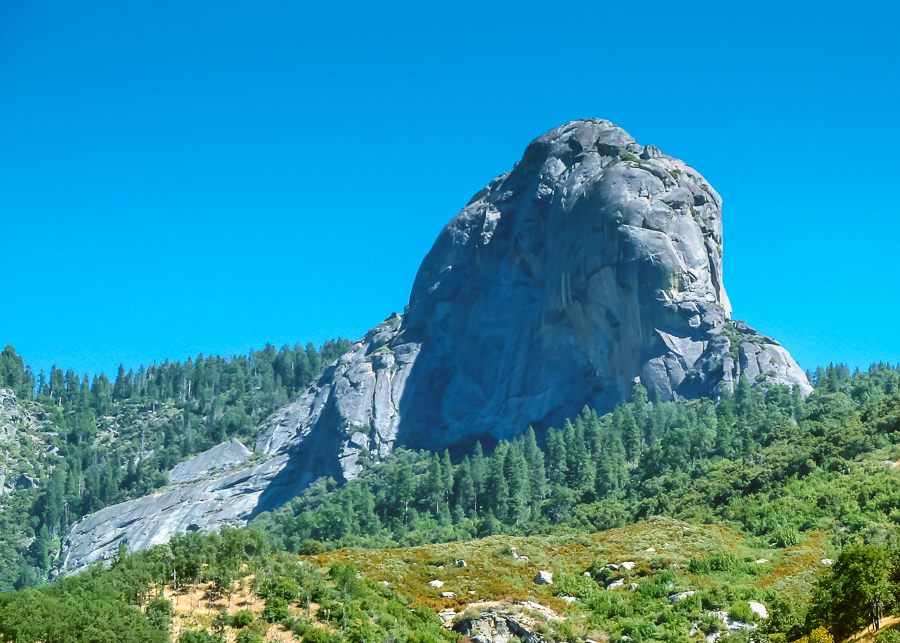
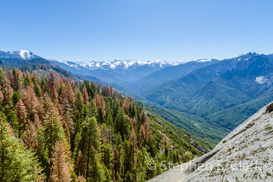
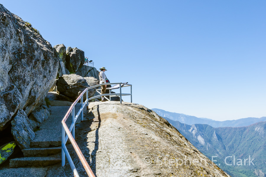
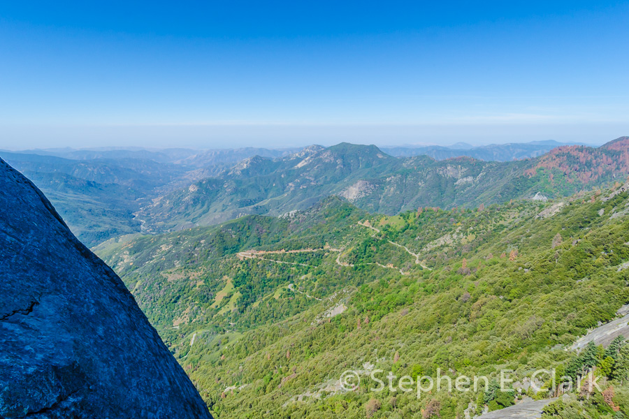
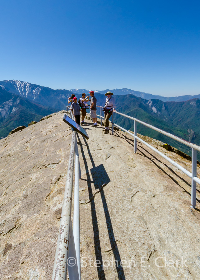
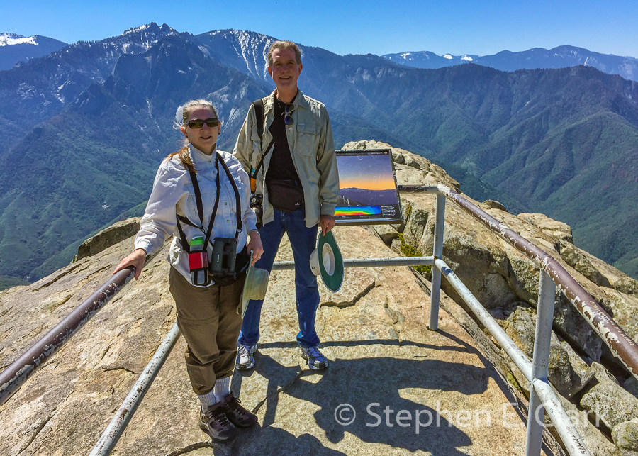


Sequoia National Park is really an extension of Kings Canyon National Park with an emphasis on the Giant Sequoia Trees. Here we visited the General Sherman Tree, the largest living thing on the planet, climbed Moro Rock, a granite dome that offers magnificent views of the Sierra Nevada Mountains and the Southern Central Valley of California (on a rare clear day), and hiked amongst the groves of Giant Sequoias.
![]()
![]()