
Eastern Sierra Nevada - October 2009
We began our journey by crossing the Sierra Nevada Mountains at Tioga Pass. At 9,943 ft, it is the highest pass in California and is located at the northern end of Yosemite National Park. We used Lee Vining as our base of operations to explore the Mono Lake basin. We then moved on to Mammoth Lakes where we explored the Long Valley Caldera, and visited the Devil's Postpile National Monument (immediately to the west of Mammoth Lakes) and the Ancient Bristlecone Pine Forest in the White Mountains to the south-east.
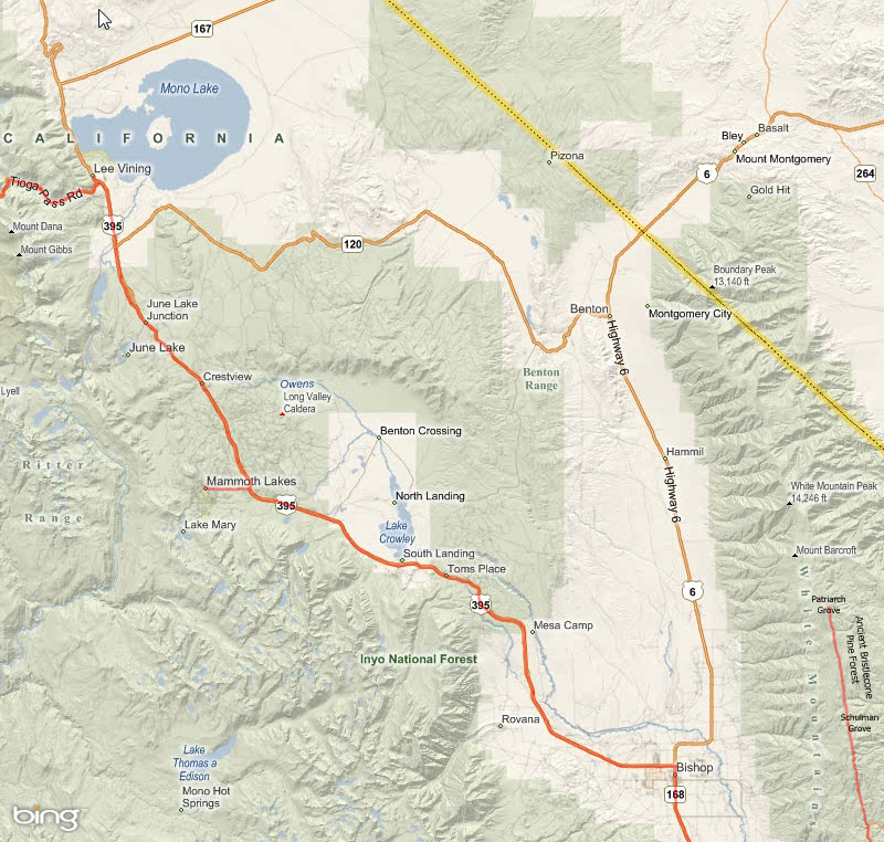
Map of our trip, our route marked in red. (Map from Bing. Our route some place names added by me.)
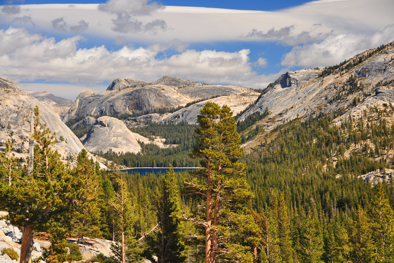
Tenaya Lake as seen from the Tioga Pass road. A weather system is approaching that will drop 4 inches of snow on us at Lee Vining, where we stayed on the other side of the pass, that will close the Tioga Pass for the next three days.
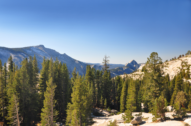
Tenaya Canyon, seen from Olmstead Point on the Tioga Pass road. Looking south-west is Half Dome (elev. 8,842 ft), right of center, towering above Yosemite Valley. Clouds Rest (elev. 9,926 ft) is the peak to the left. This image was taken on our return trip and the sky and the road were thankfully clear.
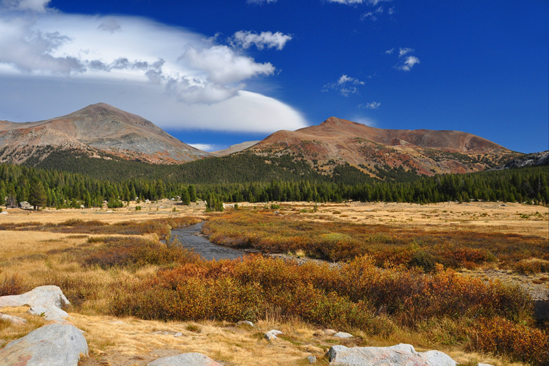
Tuolumne Meadows and the Tuolumne River seen from the Tioga Pass road.
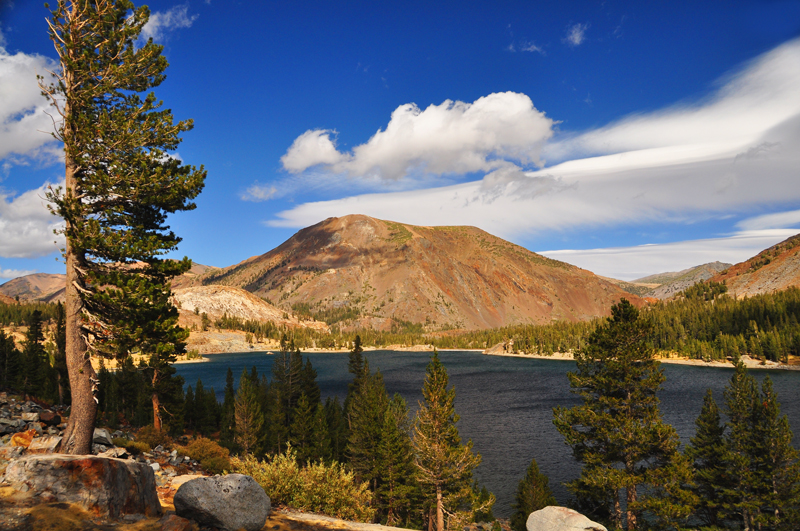
Tioga Lake seen from the Tioga Pass road.
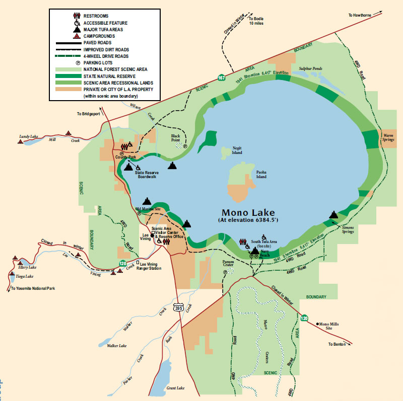
Map of Mono Lake from the California State Parks brochure. The Mono Lake Basin is a patchwork of frederal, state, and Los Angeles City property. The latter is interested in taking the water and the two former agencies are interested in preserving what's left of the lake.
Mono Lake as seen from the visitor center. The gusting wind from the approaching storm made it difficult to stand. Negit Island is left of center and dark in color. Paoha Island is to the right and lightly colored. Lee Vining Creek flows into Mono Lake through the trees in the center foreground.
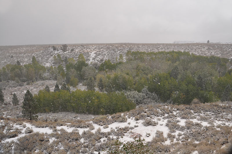
The next morning we awoke to 4 inches of still falling snow. This was the view from the door of our motel in Lee Vining. Lee Vining creek flows past amongst the trees.
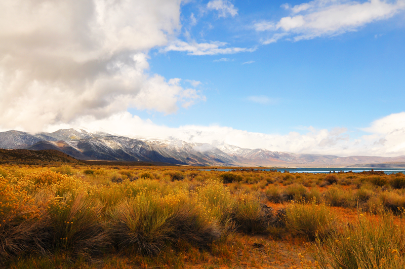
The snow stopped falling after breakfast so we set out to explore Mono Lake. As we approached the South Tufa Area, the Sierra Nevada and Lee Vining Peak rose to the west and Rabbitbrush bloomed in the foreground.
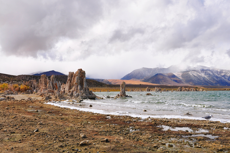
The South Tufa Area looking west towards the Sierra Nevada. The wind was gusting and it was cold!

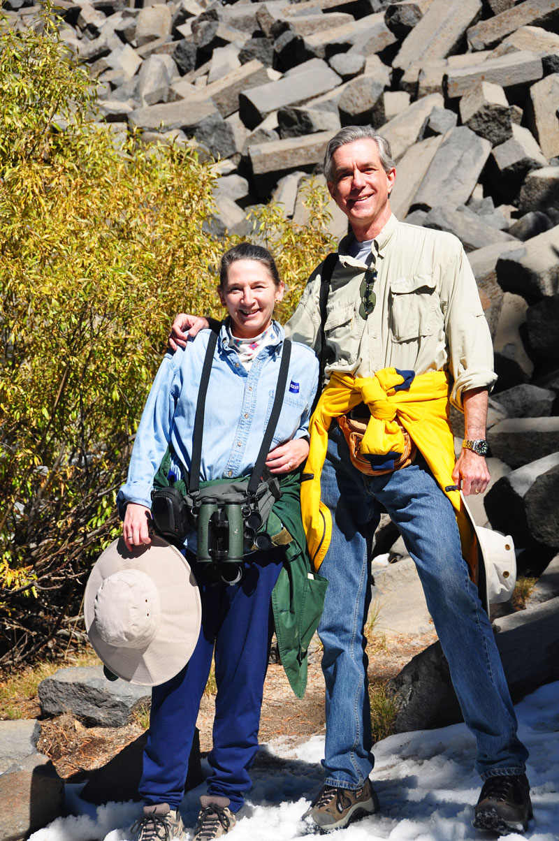
My trusty assistant is bundled up for the gusting wind and temperatures in the 30s and 40s.
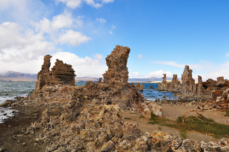
Tufa in the South Tufa Area looking north.
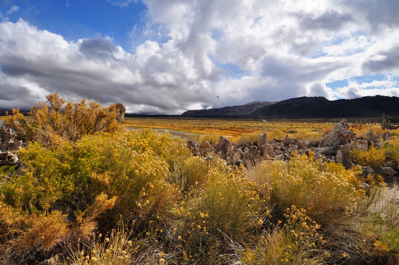
Blooming Rabbitbrush and Tufa looking west and south towards the Mono Craters in the background from the South Tufa Area.
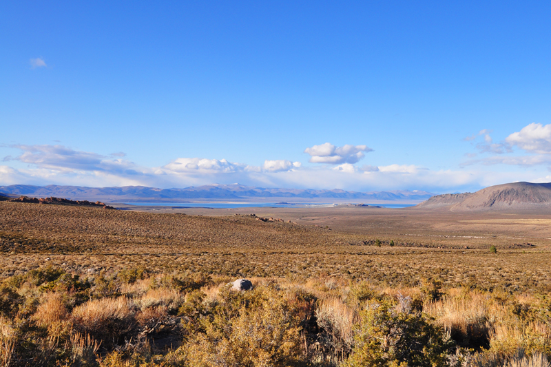
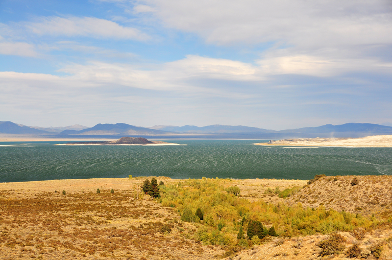
Mono Lake Basin as seen from I395 looking north. Negit Island can just be seen in the center of the lake. The Mono Craters are to the right. And Rabbitbrush is everywhere.
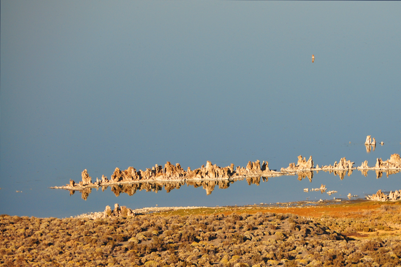
Tufa seen from the rim of Panum Crater.
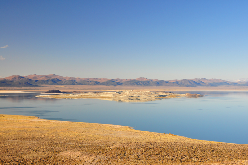
Negit (dark in color) and Paoha (light in color) Islands seen from the rim of Panum Crater.
![]()
![]()
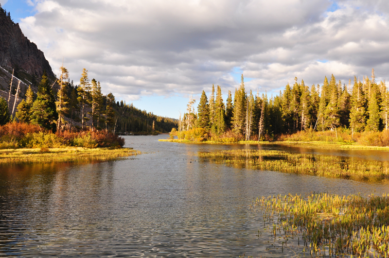
Moving on to Mammoth: Twin Lakes in the shadow of Mammoth Mountain to the left as sunset approaches. Fall colors are evident in the deciduous trees and plants. Our very comfortable cabin at Tamarack Lodge is behind the trees to the right.
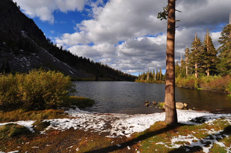
Twin Lakes at dusk seen a short walk from our cabin.
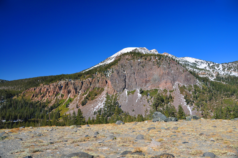
Mammoth Mountain, an active volcano and winter ski resort, towers above Twin Lakes where we were staying. We're looking straight up the Dragon's Back toward the mountain peak. Image taken from Panorama Dome looking west.
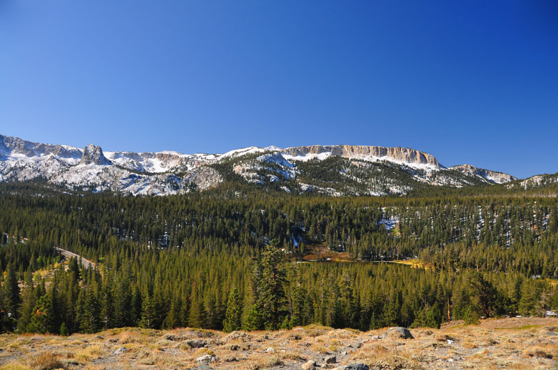
The mountains surrounding Lake Mary. Image taken from Panorama Dome looking south. These mountains form part of the rim of the Long Valley Caldera (see map below).
Mammoth Mountain sits on the western end of the Long Valley Caldera which measures about 11 miles by 20 miles. It was formed 760,000 years ago in a huge volcanic eruption, and is still geologically active as evidenced by a resurgent lava dome in its center. Our cabin sat on the side of Twin Lakes in the Lakes Basin just south-east of Mammoth Mountain. (Map from the USGS.)
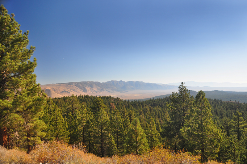
The north and east sides of the Long Valley Caldera are clearly seen from Lookout Mountain. The resurgent lava dome can be seen in the middle distance at the right.
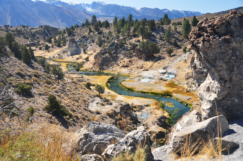
Hot Creek is a site of recent hydrothermal activity in the Mammoth area: hot springs (seen above, right of center), geysers, and fumaroles.
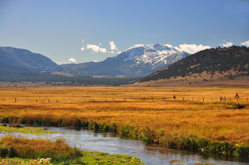
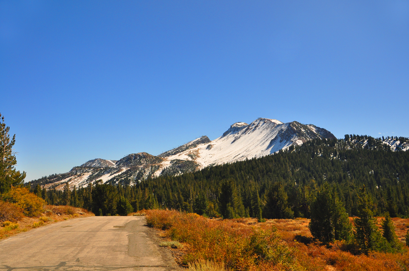
A more familiar view of Mammoth Mountain (elev. 11,053 ft) from the side of Mammoth Creek, looking west.
![]()
![]()
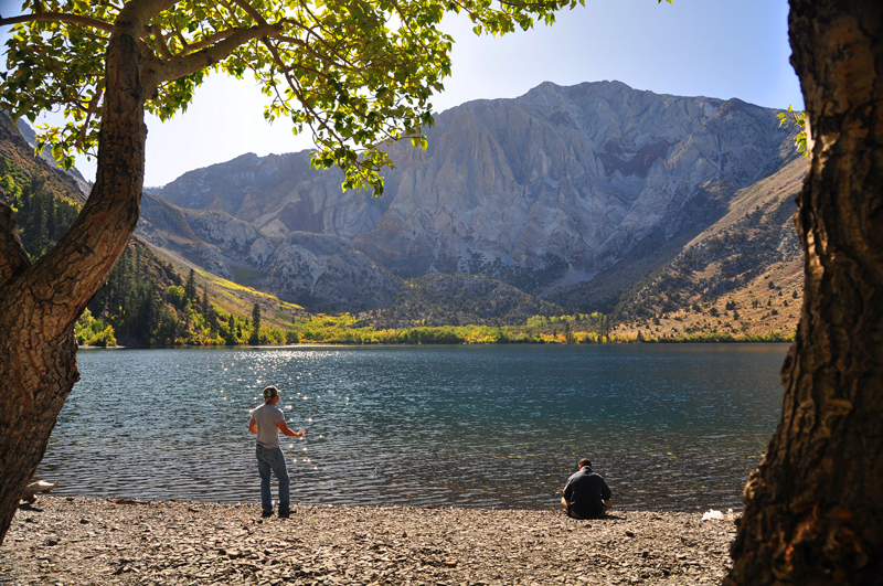
Convict Lake is a popular fishing spot south of Mammoth Lakes. Laurel Mountain (elev. 11,812) rises in the background.
Deciduous forest and the beginning of fall colors at the west end of Convict Lake.
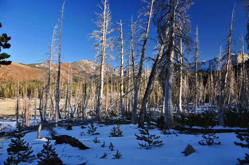
Dead trees killed by carbon dioxide saturated soil, another sign that the volcano is awakening, on the side of Mammoth Mountain. Horseshoe Lake is in the background.
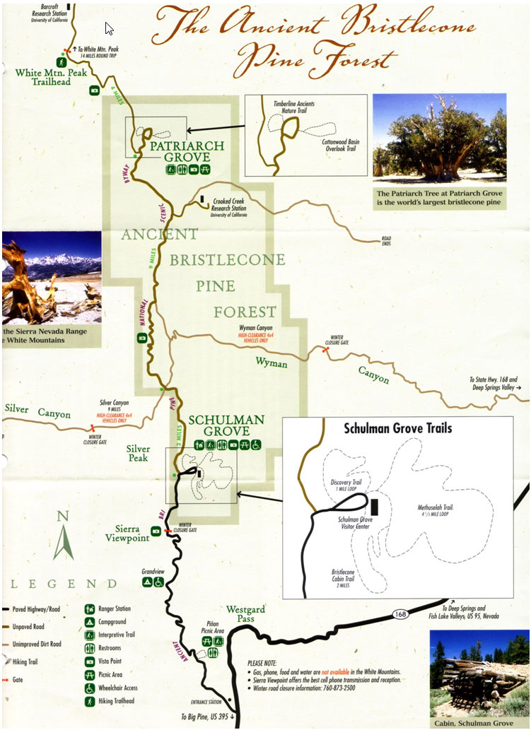
We drove to the Ancient Bristlecone Pine Forest by way of Big Pine on I395, state highway 168, and the Ancient Bristlecone Pine National Scenic Byway, the latter that is paved to the Schulman Grove and an improved dirt road to the Patriarch Grove. Map is from the National Park Service.
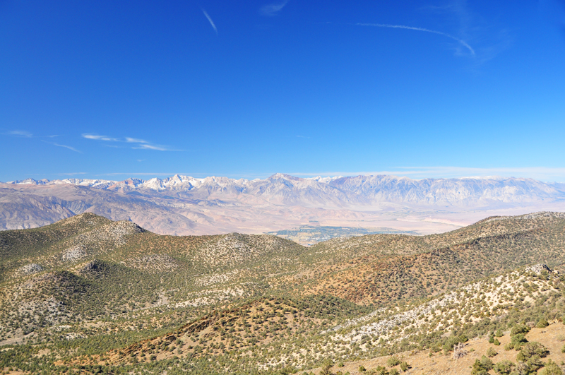
We saw magnificent views from the road to the Ancient Bristlecone Pine Forest. Here the Sierra Nevada Mountains rise above the town of Bishop looking west from the White Mountains.
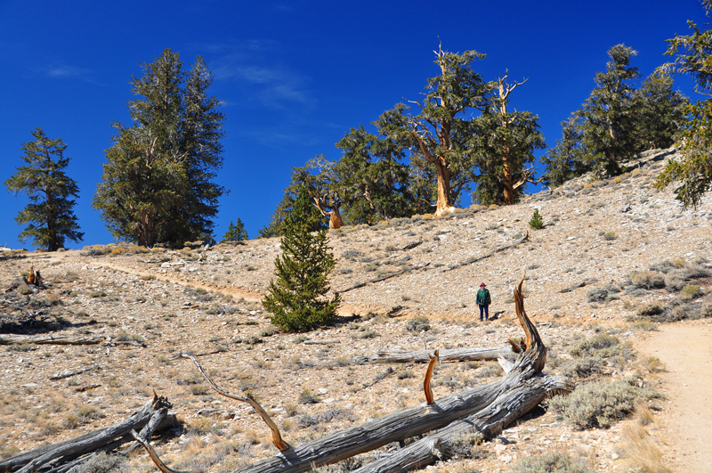
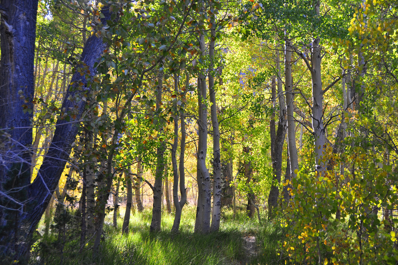
The Bristlecone Pine (Pinus Longaeva) is the oldest living species of tree in the world. The Methuselah Tree, estimated to be 4,841 years old as of 2009, can be found in the Schulman Grove though it is unmarked to protect it from vandals.
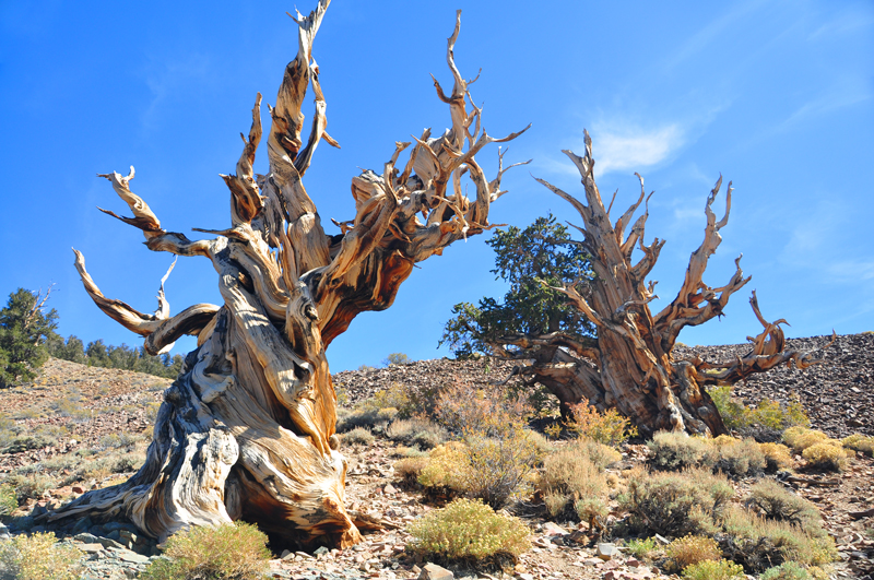
In this image the tree to the right is very much alive despite its many bare branches. The bristlecone pines thrive in the white alkaline dolomite soil that gives these mountains their name, and they take on peculiarly tortured shapes as they age.
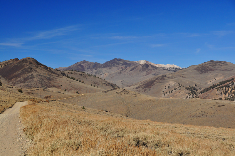
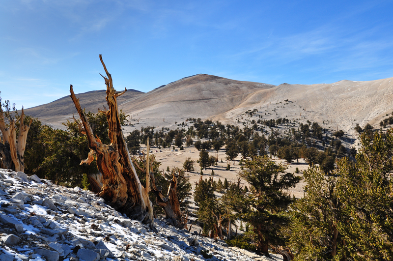
The road to the Patriarch Grove at 11,000 ft, seen right of center in the far distance, is very rough but passable for a 2-wheel drive vehicle. White Mountain, 14,252 ft, is seen in the center horizon.
The Patriarch Grove is named for the Patriarch Tree, the largest of the Bristlecone Pines.
From the Patriarch Grove there are stunning vistas of the Great Basin to the east.
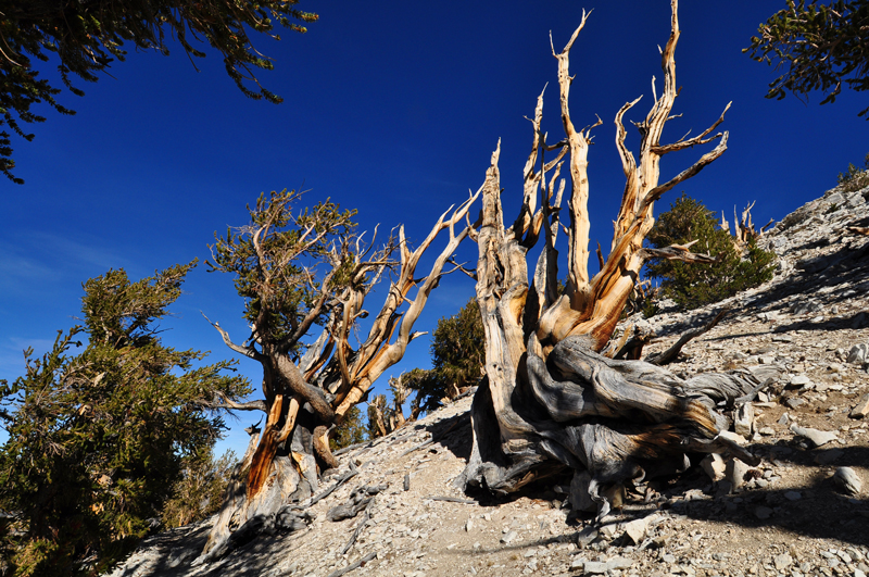
Bristlecone Pines in the Patriarch Grove.

![]()
![]()
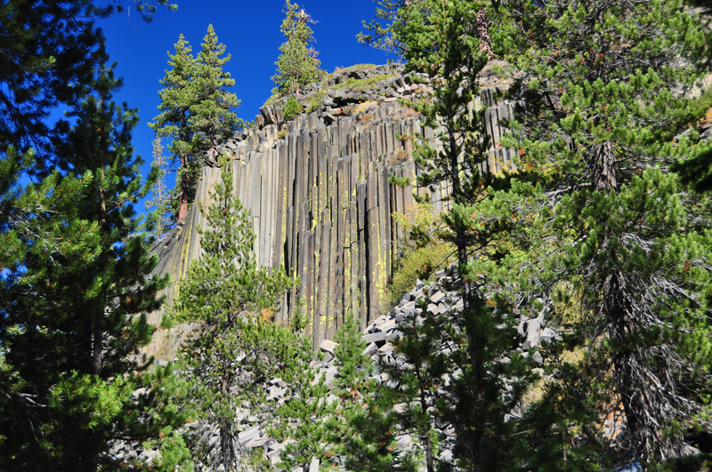
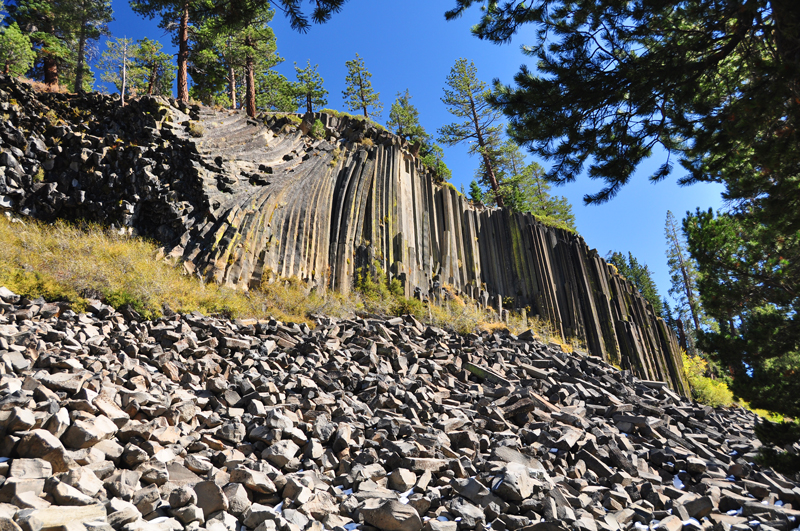
The Devil's Postpile National Monument resulted from a basalt lava eruption that cooled uniformly, splitting to form the characteristic hexagonal columns. It can be reached from Mammoth Lakes on the Minarets Road.
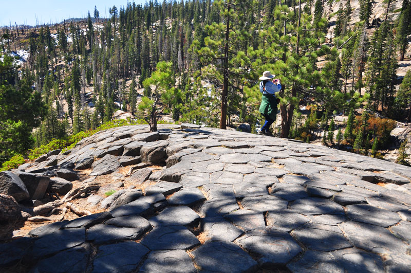
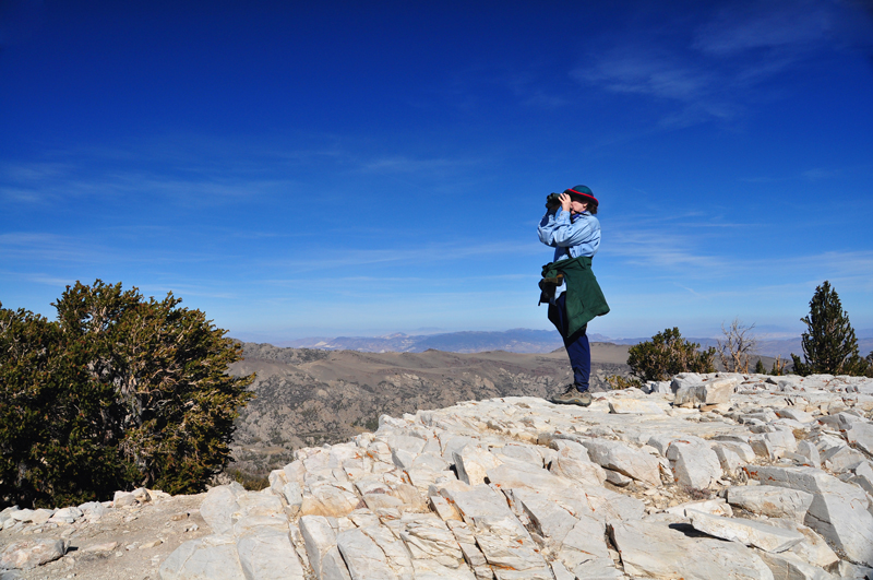
The top of the Devil's Postpile was polished smooth by glacial action. Note the near uniform hexagonal pattern of the basalt columns. The wife is looking out over the Valley of the Middle Fork San Joaquin River.
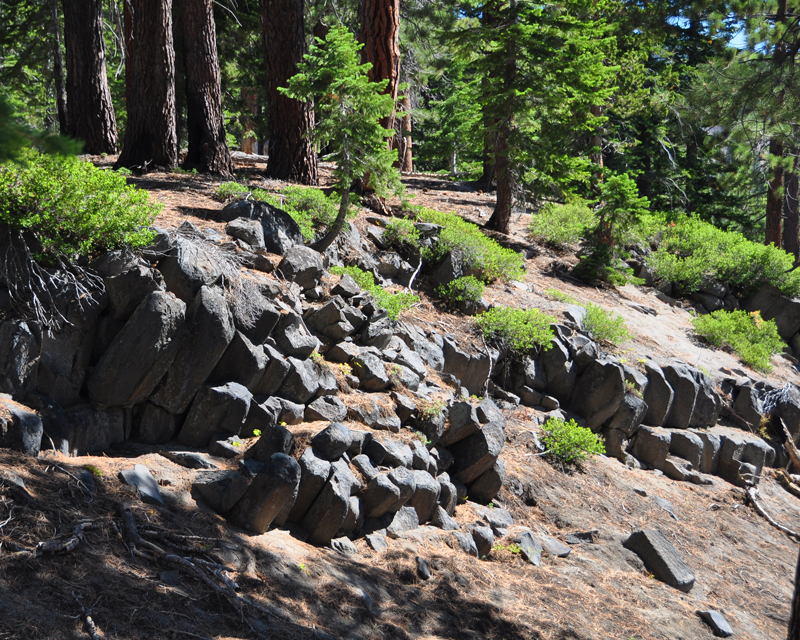
Hexagonal basalt is found throughout the monument.
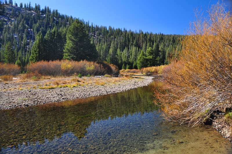
The headwaters of the middle fork of the San Joaquin River flows past the Devil's Postpile.
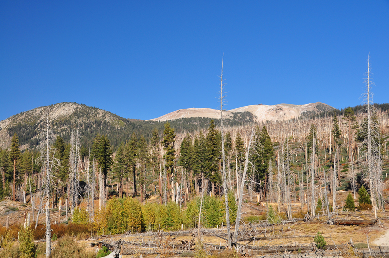
The backside of Mammoth Mountain seen from the Rainbow Falls trail of the Devil's Postpile National Monument. Note the ski lift building on the top of the mountain.
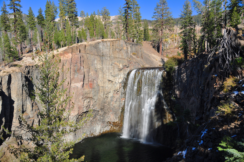
Rainbow Falls is a beautiful 100 foot water fall of the San Joaquin River. If one can time their arrival for about noon, there is a nice rainbow above the falls from which its name derives.
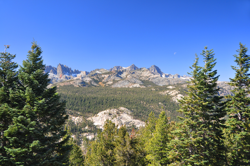
The Minarets of the Sierra Nevada (elev. 12,264 ft) seen from the Minaret Summit Vista looking west. The waning harvest moon can be seen setting.
Mammoth Mountain and ski resort as seen from the Minaret Summit Vista. Note the ski lift buildings on the top of the mountain.
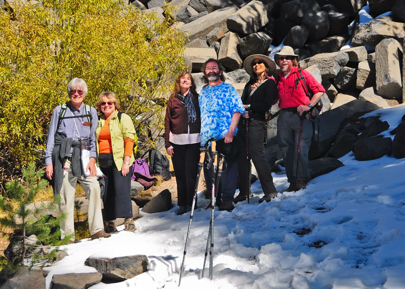
We made some new friends. These people we met at the Devil's Postpile. The couple in the center, Aodh Óg Ó Tuama & Christy Martin, comprise the Celtic folk group Four Shillings Short: http://art.net/~4ss/index.html. We've seen them perform several times now. They're beautiful people and we highly recommend their performances.
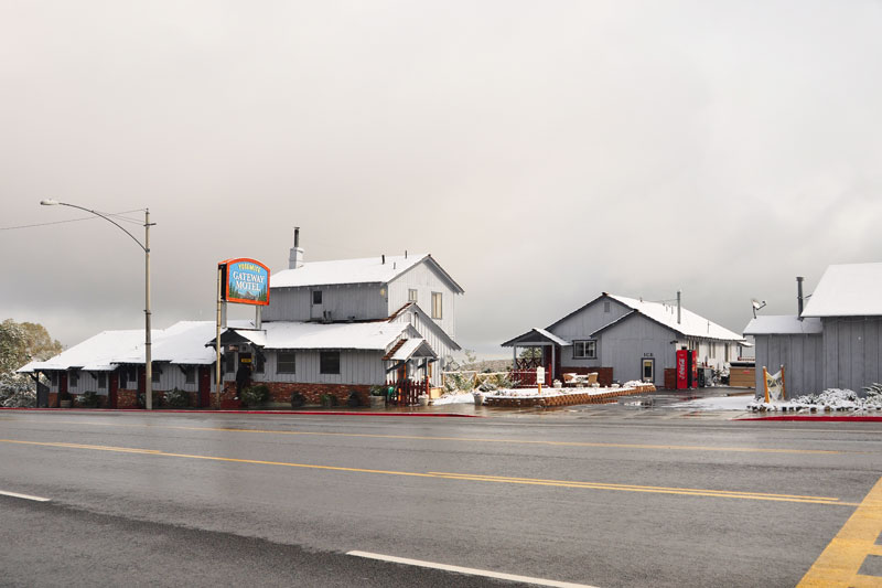
Our base of operations in the town of Lee Vining in the Mono Lake Basin. As the picture suggests, it was cold! Here is their website: http://www.yosemitegatewaymotel.com/. The place could use a face lift, including double pane windows and central heating, but it was clean.
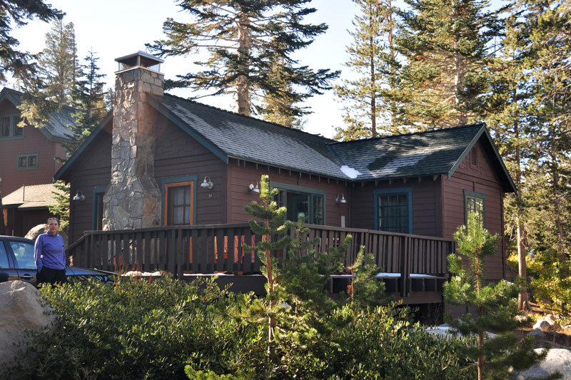
And our base of operations at Mammoth Lakes. This small cabin at the Tamarack Lodge was delightful and very cosy. Here is their website: http://tamaracklodge.com/. We loved it there, and would definitely stay there again.
We hope you've enjoyed the pictures.
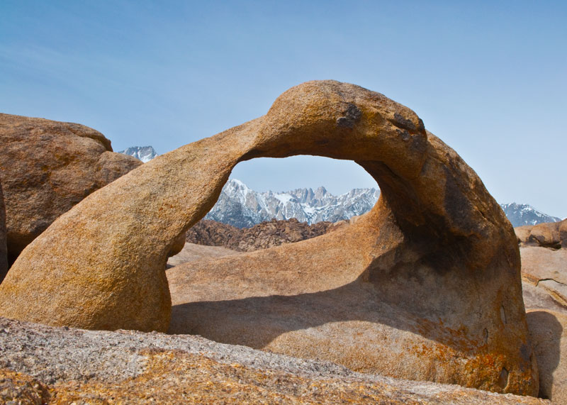
In early April of 2010 we had a chance to explore the southern half of the Eastern Sierra Nevada, i.e. the Owens Valley, that regretably we didn't have time to get to during this trip. Here is a link to this travelogue and its pictures, or click on the image to the left.
![]()
![]()