
Death Valley, January 2013
We traveled once again to Death Valley in Southern California with our friends Jim and Susan. (See our trip pictures in Death Valley from December 2006.)
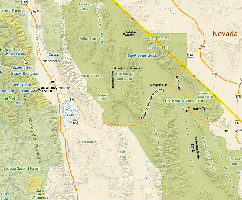
Click on the map above to see a larger version in a separate window.
To the left is a map of Death Valley showing it in relation to the Owens Valley and the Sierra Nevada to the west.
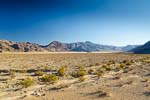
Death Valley National Park, shaded in green, sits in the Mojave Desert in south-eastern California and western Nevada. Badwater Basin in Death Valley is the lowest point in North America at 282 ft below sea level, and it is one of the driest since it sits in the rain shadow of several mountain ranges to the west. About 75 miles to the west of Badwater Basin is the highest point in the Continguous 48 States, Mt. Whitney in the Sierra Nevada Mountains, at 14,505 ft above sea level.
Geologically, Death Valley is a graben, i.e. a drepressed block of land, between the two vertical fault scarps that formed the mountain ranges on either side, similar to the Owens Valley to the northwest; see our Owens Valley travelogue. Both Death Valley and Owens Valley are within the Eastern California Shear Zone characterized by parallel strike-slip faults that formed the parallel and alternating mountain ranges and valleys that run roughly north-south. Death Valley is framed by the Amargosa Range to the east and the Panamint Range to the west. Further to the west, and running roughly parallel to these ranges, are the Inyo and the Sierra Nevada Ranges. (Map above by Bing; additional place names added by me.)
Click on the map above to see a larger version in a separate window.
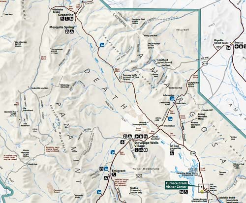
To the left is the central part of the Death Valley National Park map, ranging from Furnace Creek in the south to Ubehebe Crater in the north.
Unlike in 2006, we focused on those areas we saw in 2006 that we wanted to see again and explore in more detail, and avoided the more "touristy" regions.
We spent a day driving the length of the Titus Canyon Road from its beginning at Highway 374 west of Beatty (upper-right side of map) to its intersection with Highway 190 in Death Valley (upper-central part of map).
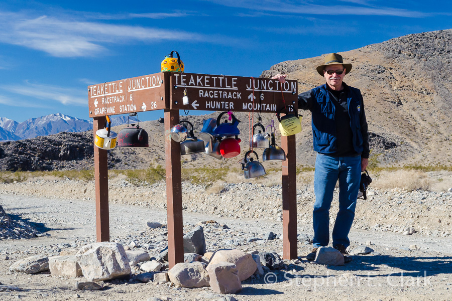
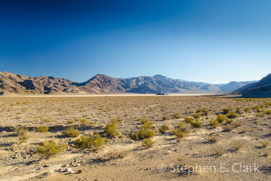
The second day we drove to the Racetrack, passing Ubehebe Crater (upper-left) and Teakettle Junction (center-left). The Racetrack Playa is located just south of Teakettle Junction.
The third day we explored Mosaic Canyon (just west of Stovepipe Wells), Grotto Canyon (not shown on map, but located just to the east of Stovepipe Wells), and Echo Canyon (lower-right corner of map off of Highway 190).
(Map taken from the Death Valley National Park Map with some minor editing by me.)
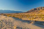
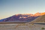
Click on a thumbnail to see a larger image. Click on NEXT or PREV to move to the next image or to go back.
-
-
-

-
-
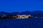
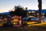
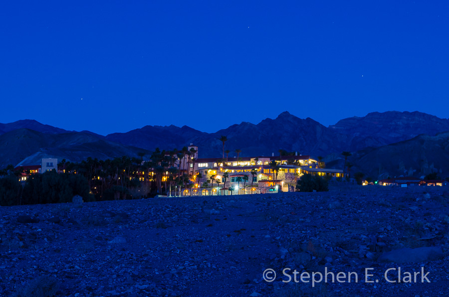
We stayed at the Furnace Creek Ranch, the less espensive of the accommodations at Furnace Creek. Across the road on the hill in the distance is the Furnace Creek Inn where we ate our dinners for the simple reason that they took reservations. All other restaurants in the Death Valley are first come, first serve.
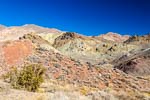
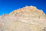
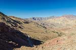
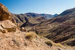
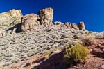
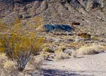
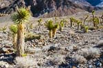
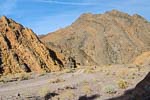
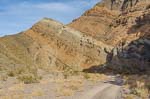
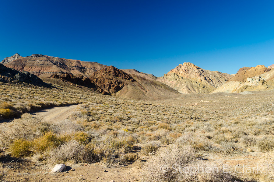
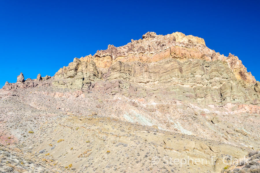
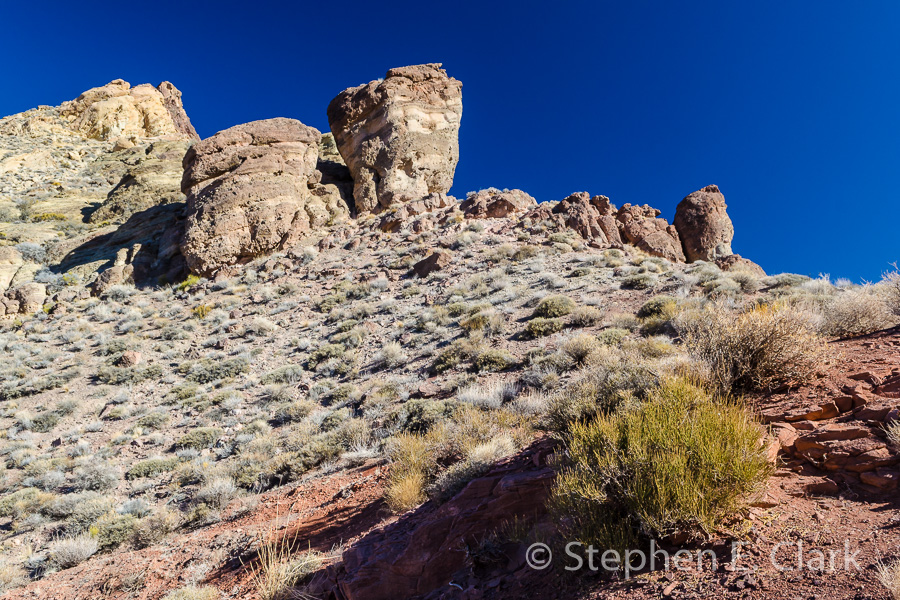
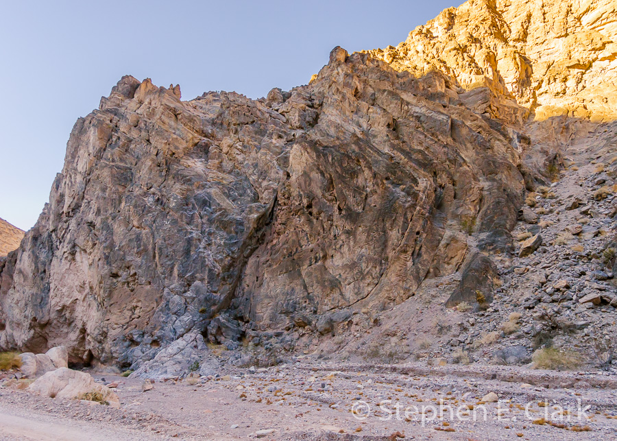
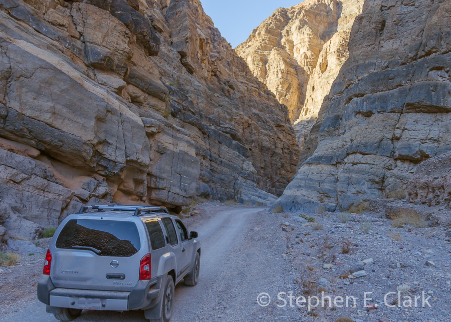
Titus Canyon: Our first day we drove the Titus Canyon road, from east to west, a 27-mile one-way road that requires a high-clearance vehicle, which gave us a chance to try out our friend's brand new Nissan XTerra. Thankfully, it performed very well, and except for some dust I don't think we hurt it at all. (Though we may have loosened it up a bit.)
-

-
-
-
-
-
-
-
-
-
-
-
-
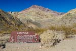
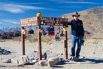
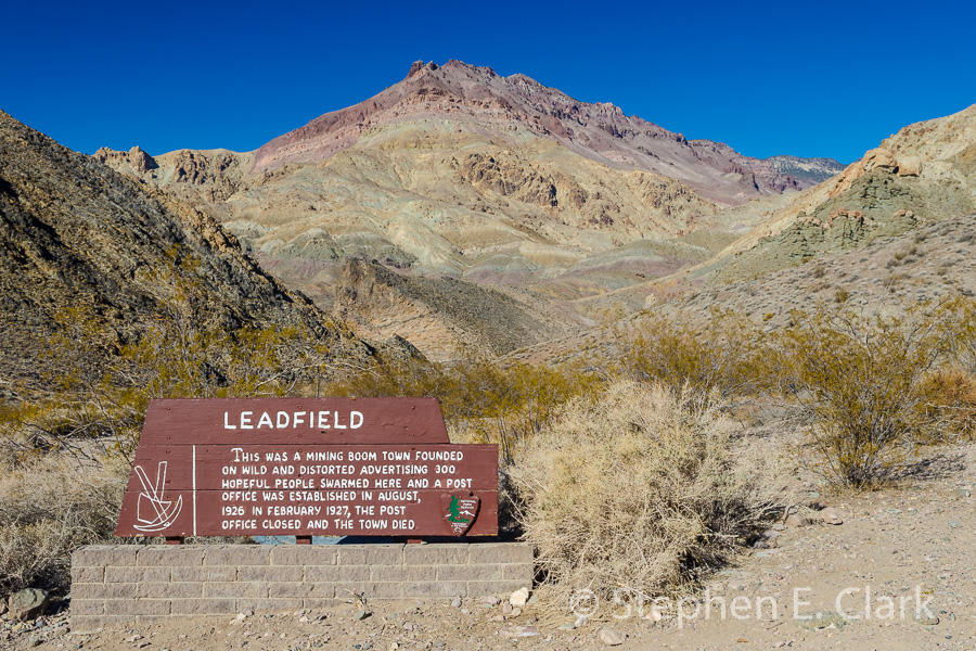
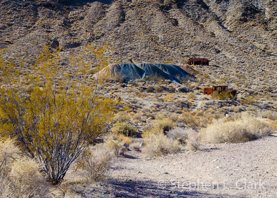
We didn't need 4-wheel drive on this trip, though it was nice to know it was there, though the high clearance was a must. We stopped for lunch at the Leadfield ghost town that thrived for one year (1926-1927) before the lead deposits ran out. Titus Canyon is supposedly the most popular back-country drive in Death Valley, but we only saw two other vehicles on our drive.
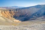
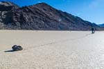
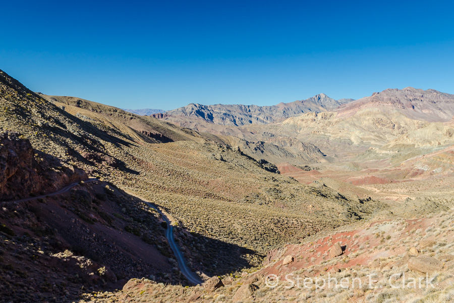
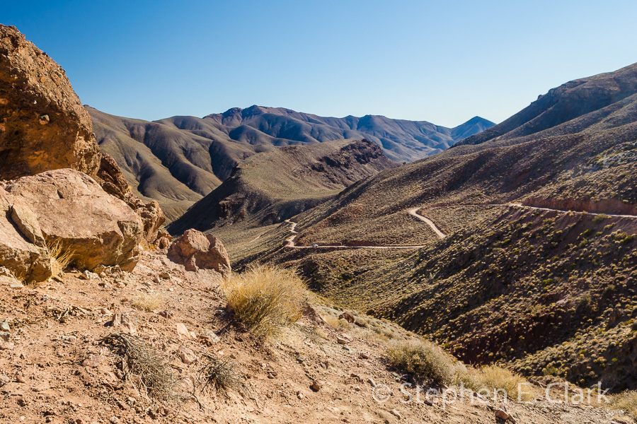
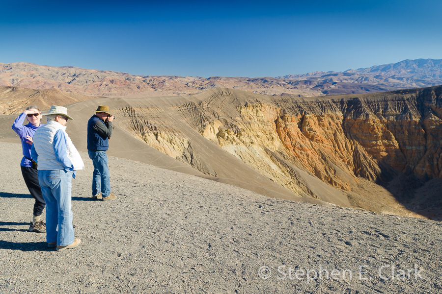
Ubehebe Crater and the Racetrack: The next day we drove out to the Race Track passing the Ubehebe Crater and Teakettle Junction
-

-
-
-
-
-
-

-
-
-
-
-
-
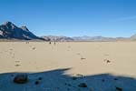
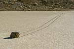
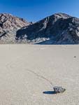
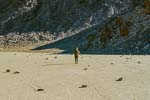
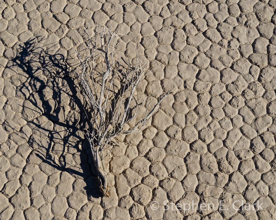
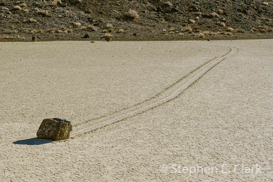
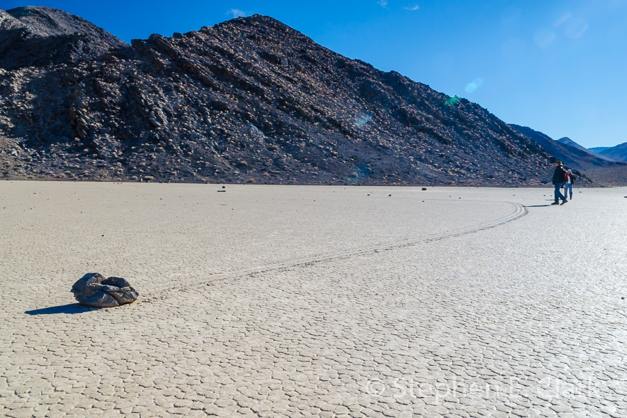
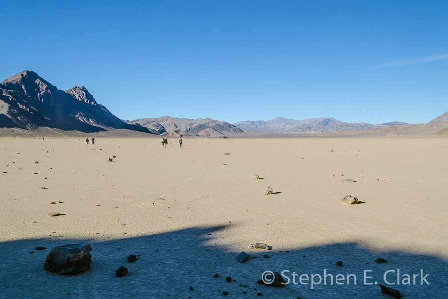
This was an all-day drive. Ubehebe Crater is about 60 miles from Furnace Creek, and it is here that the improved road ends. Teakettle Junction is another 20 miles over a dirt road that requires off-road tires, and the Racetrack Playa is another 7 miles. The Racetrack Playa is famous for it moving rocks.
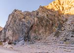
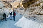
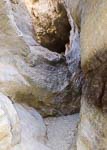
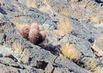
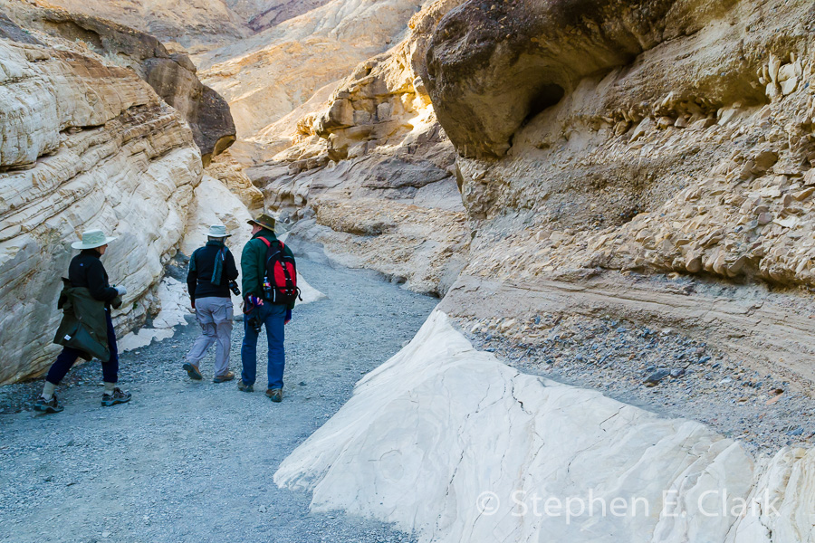
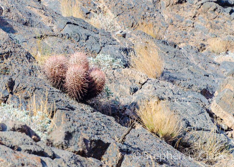
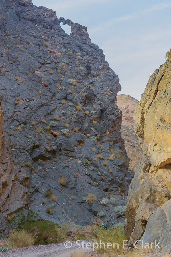
Mosaic Canyon: On our third day we drove to Mosaic Canyon near Stovepipe Wells. This is my favorite canyon, and my second favorite place in Death Valley besides the Race Track.
-
-
-
-
-
-
-
-
-
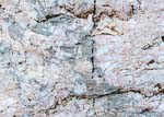
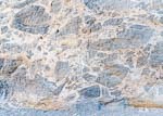
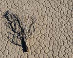
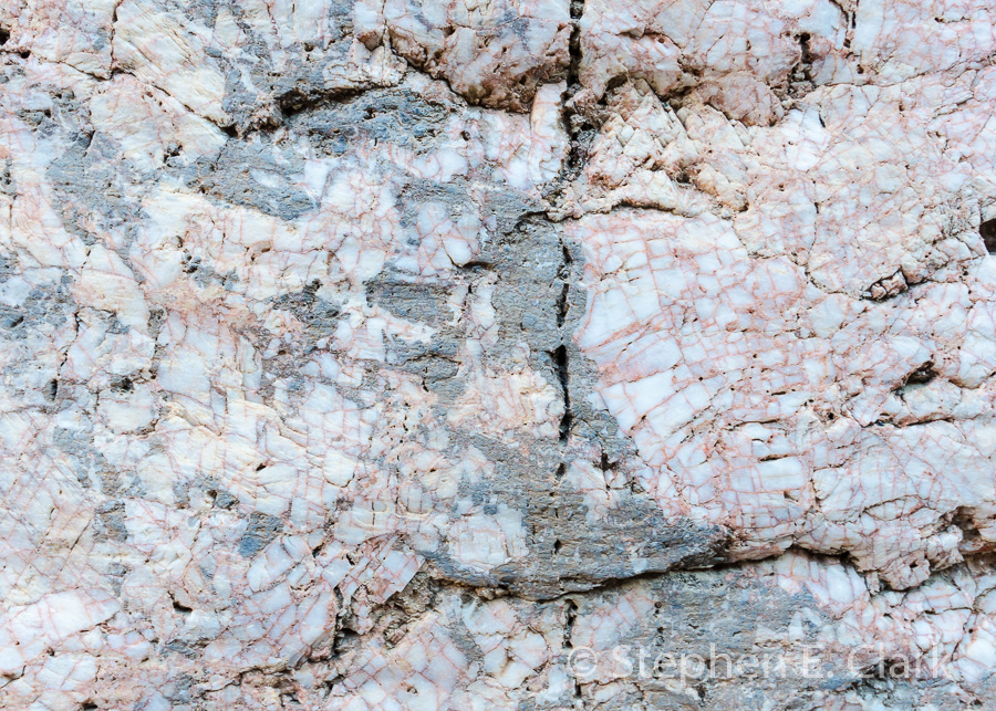
The beautiful "living" rock of Mosaic Canyon is so sensuous that in places it begs to be touched.
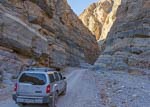
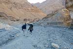
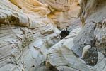
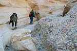
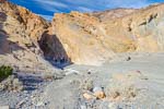
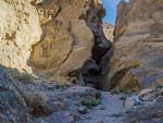
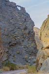
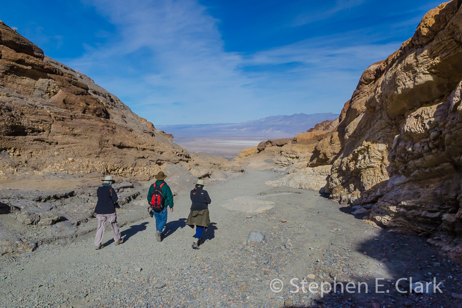
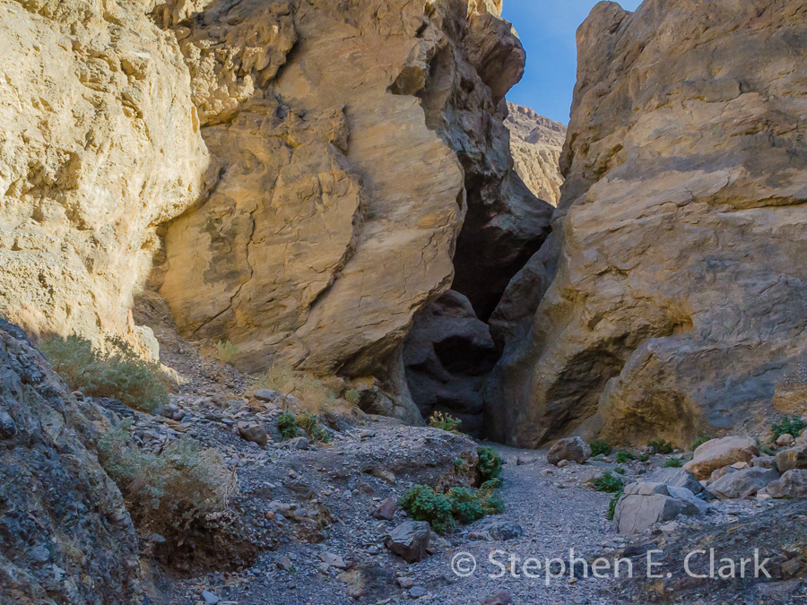
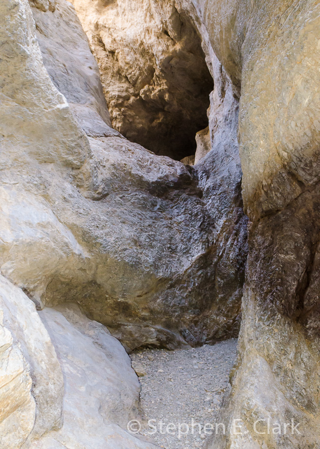
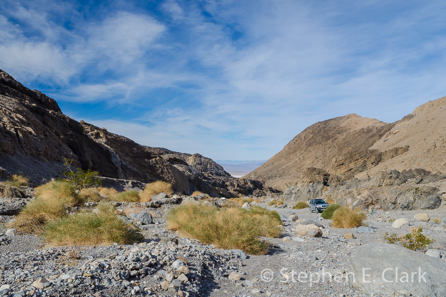
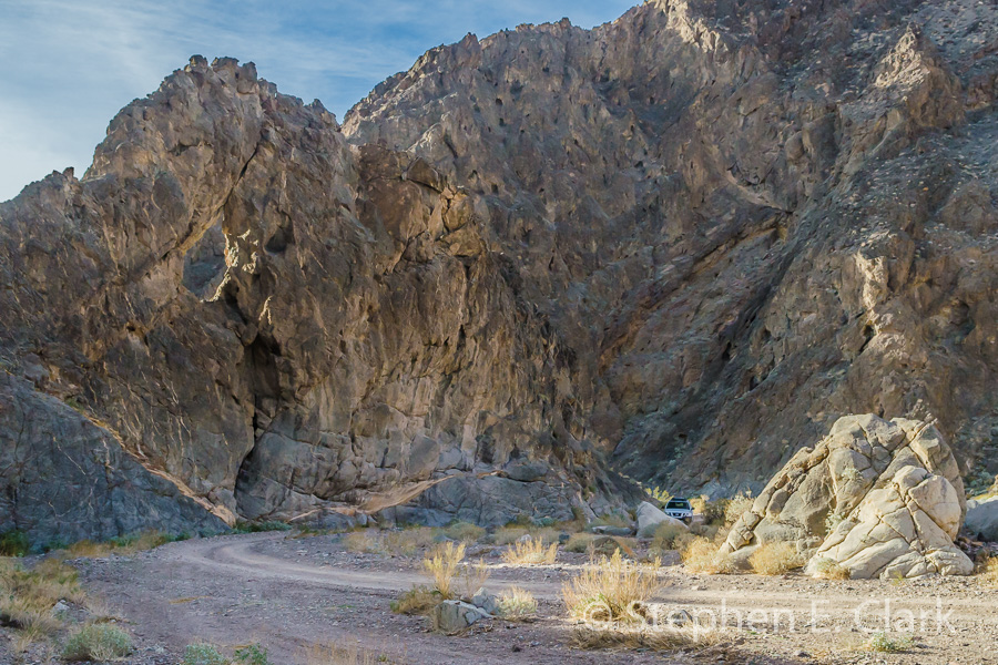
Grotto Canyon is located in the slope of Tucki Mountain just south of Stovepipe Wells and very close to Mosaic Canyon. For some reason it doesn't show on the National Park Service map. The entrance to the canyon requires crossing a couple of miles of alluvial fan and a stream bed that more than any other canyon we had explored challenged our high clearance vehicle.
-
-
-
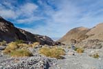
Grotto Canyon was a very short adventure since we weren't equiped to climb its many dryfalls. But it was worth a look-see, and the space right in front of the entrance, looking back at Death Valley, made an excellent picnic spot to eat our lunch.
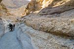
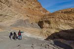
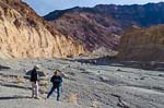
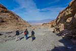
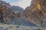
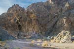
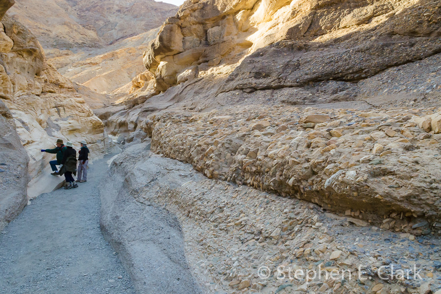
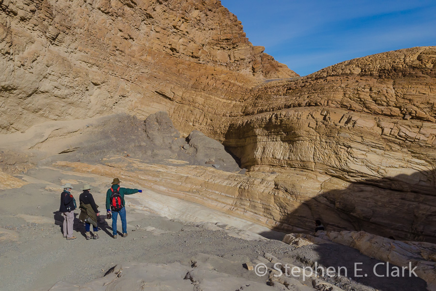
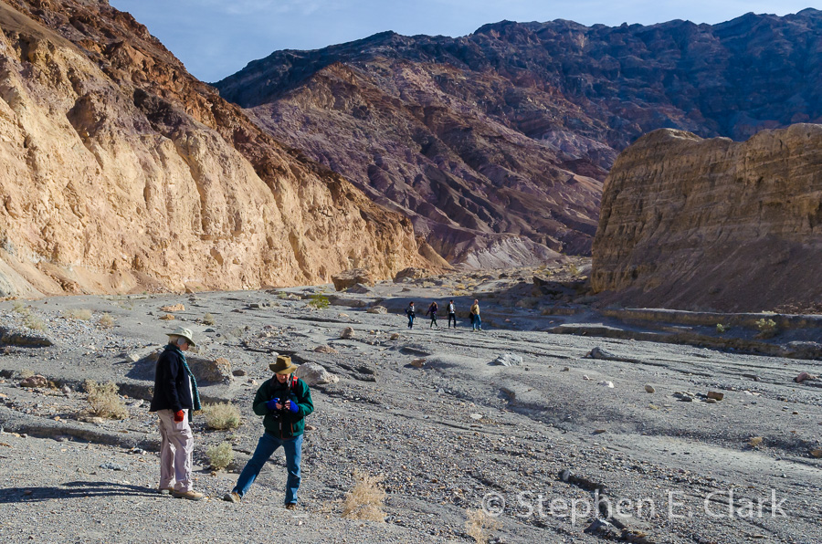
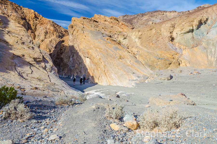
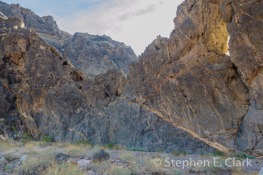
Echo Canyon is located off Highway 190 just south of Furnace Creek, and goes about 10 miles into the Funereal Mountains. The first couple of miles are not difficult, but the read quickly becomes more difficult and requires a 4WD vehicle. Several old mines can be found in the difficult 4WD areas. but the
-
-
-
-
-
-
-
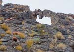
We turned around at the end of the narrows. Another couple of miles takes one by abandoned mining equipment and to the Inyo Mine. A visit there will have to await another visit to Death Valley.
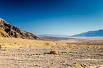
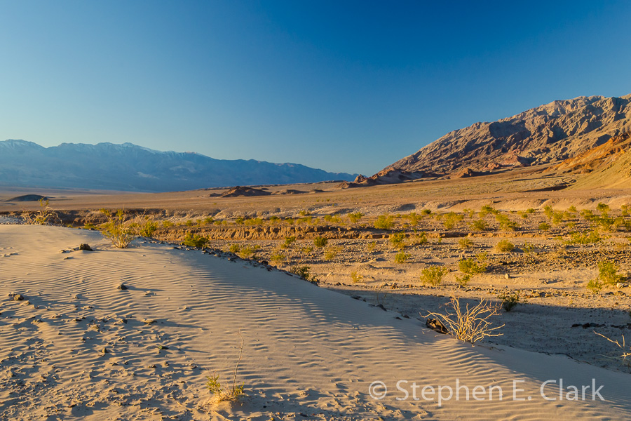
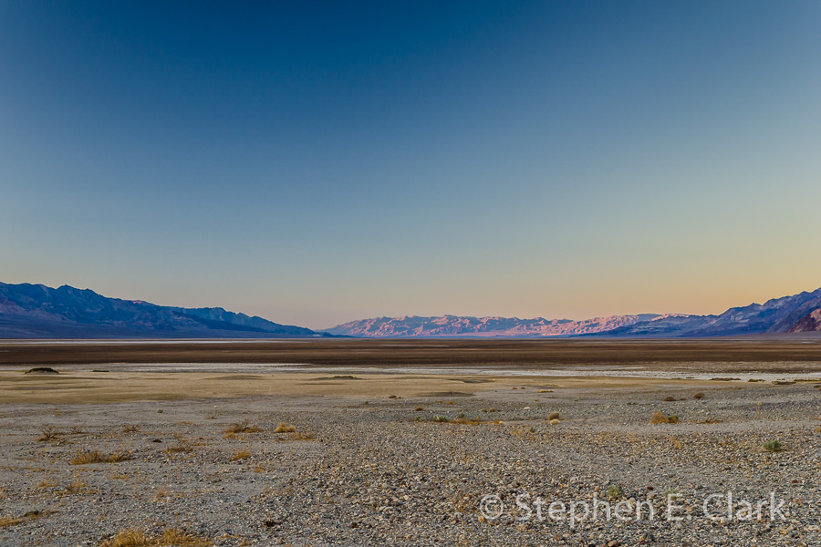
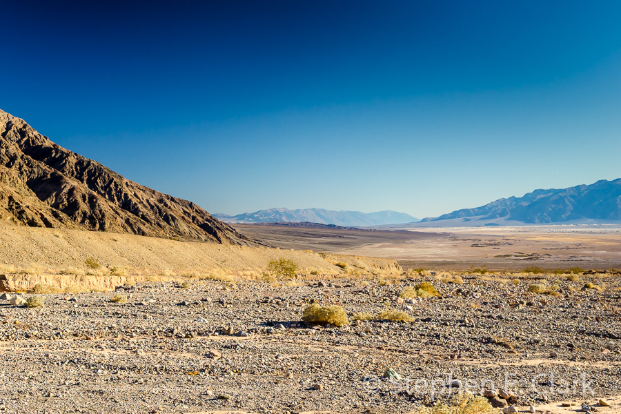
Arrival in Death Valley: We entered Death Valley from the south-east on State Highway 178 at dusk, as we did in 2006, and after a quick stop to take in the view looking up the length of the valley, we drove directly to our accommodations at Furnace Creek. We arrived a bit later than we did last time. The sun had already set in the valley and only the top of the Amargosa Range to the east was lit by the setting sun.


![]()
![]()